Kang Yatse II Expedition Diary: A Photographer's 10 Days in Ladakh
A photographer's diary of ten days through Ladakh's Markha Valley and up Kang Yatse II (6,200m): storms, river crossings, portraits and monasteries.

It’s 8pm and I’m writing by the light of my smartwatch. Rain is hammering the tent at Kang Yatse II Base Camp, 5,130 metres up in the Ladakh Himalaya. For the next twelve hours the plan is simple: stay dry, stay warm and stay in my sleeping bag.
In just over a day, we leave for the summit at half past midnight.
Getting here took six days on foot through the Markha Valley: around 100 kilometres of red rock canyons, high passes, river crossings and one serious monsoon storm. There were six of us from four countries, plus our guide Jit and a Nepali crew whose cooking made it feel more like glamping.
For me this expedition had two jobs. It was the final training step before Manaslu, my first 8,000m peak. And it was a chance to photograph a part of the Himalaya I’d never seen. This is my day-by-day diary, written in a tent most nights. It covers what we lived through, what I photographed, and the days when the camera stayed in the bag.
Contents
- Day 1: Leh to Rumbak
- Day 2: Stok La and on to Yurutse
- Day 3: Over Ganda La to Skiu
- Day 4: Skiu to Markha
- Day 5: Markha to Tachungtse
- Day 6: Tachungtse to Base Camp
- Day 7: Rest and acclimatisation at Base Camp
- Day 8: Summit day, Kang Yatse II (6,200m)
- Day 9: Over Kongmaru La to Chogdo
- Day 10: Monasteries on the road back to Leh
- After the mountain: a few days in Leh
- Photography notes
- Practical information
Expedition at a glance
Route: Leh → Zingchen → Rumbak → Stok La → Yurutse → Ganda La → Skiu → Markha → Tachungtse → Base Camp → Kang Yatse II summit → Kongmaru La → Chogdo → Shang Sumdo → Leh
| Dates | 7–16 August 2026 |
| Operator | Ju-Leh Adventure |
| Duration | 10 days, 9 nights camping |
| Highest point | Kang Yatse II, 6,200m |
| Highest pass | Kongmaru La, 5,260m |
| Total trekking distance | ~115 km |
| Summit day | ~9 km, ~1,000m of climbing, 12.5 hours |
The team
- Ambrose (Singapore)
- Philippe (France)
- Aurélien (France), aka “Japanese Jesus”
- Agathe (France)
- Antonio (Spain), aka “La Leyenda”
- Me (UK)
- Jit, our lead guide from Nepal, with a Nepali support crew
In camp there was a mix of languages, English, French, Spanish and Nepali, often in the same sentence.
Day-by-day diary
Day 1: Leh to Rumbak
Friday 7 August · 6.5 km · +555m · Camp: Rumbak, 3,956m
We left Leh for the 45-minute drive to Zingchen, stopping at Spituk Monastery on the way. I was still recovering from a stomach bug picked up in town, so I was glad the first day was gentle. We walked for about an hour under cloudy but fair skies.
The highlight was Rumbak, a small, remote village right at the start of the trek. We camped by the river nearby and spent the afternoon getting to know each other.
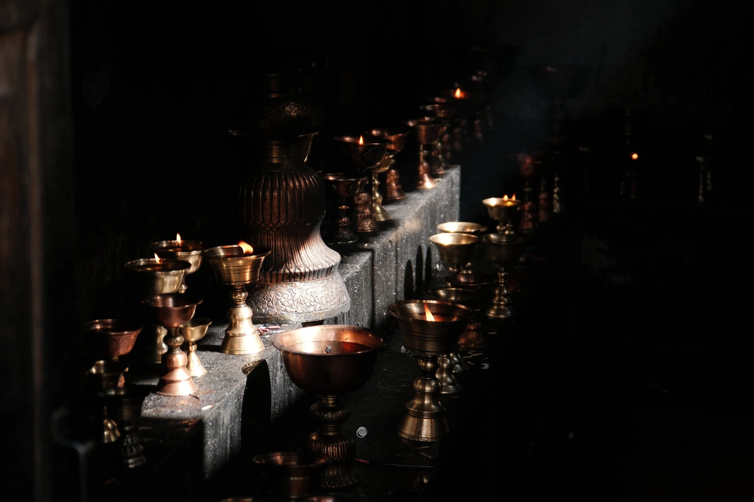
That afternoon I lay in my tent with my eyes closed and just listened. The river, birds, and the group twenty metres away talking and laughing. A gentle breeze, warm sun on the canvas. Everyone was easygoing, and it felt like a good group to spend the next ten days with.
Day 2: Stok La and on to Yurutse
Saturday 8 August · 17.1 km · 7h21m · +1,322m · Camp: Yurutse, 4,148m
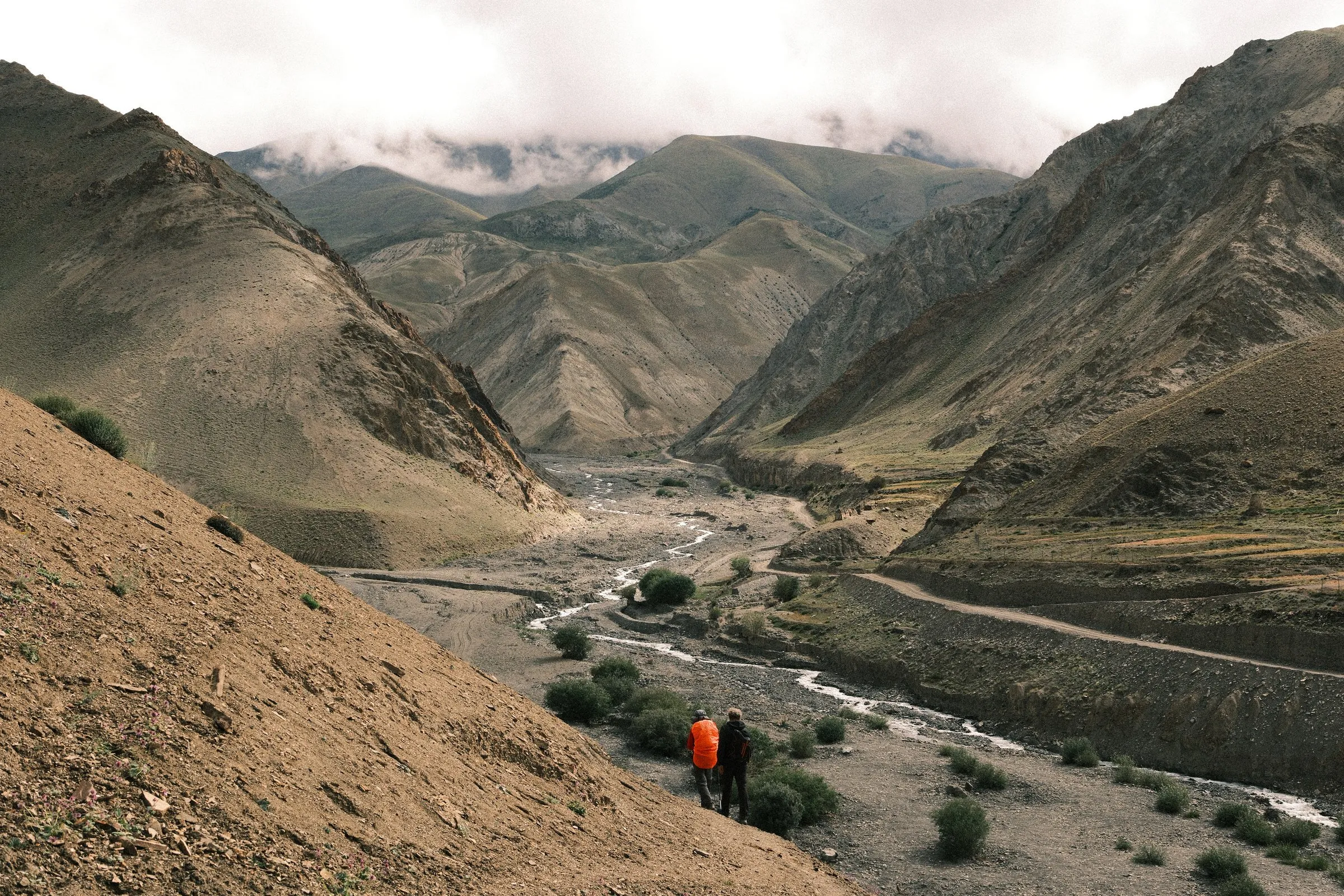
Day 2 went straight into the first real test: an acclimatisation loop up to Stok La and back, about 10 km with more than 1,000m of ascent, before we walked on to Yurutse in the afternoon. The valleys were brown, green and in places almost purple, and the ridges above were jagged and spiky. It looked surreal.
It rained for most of the ascent, which put my layering to the test. I left my PrimaLoft mid layer exposed to the rain for too long before switching to my waterproof shell. Lesson learned: change early, and keep the shell on even when the rain stops, because up here it starts again quickly.
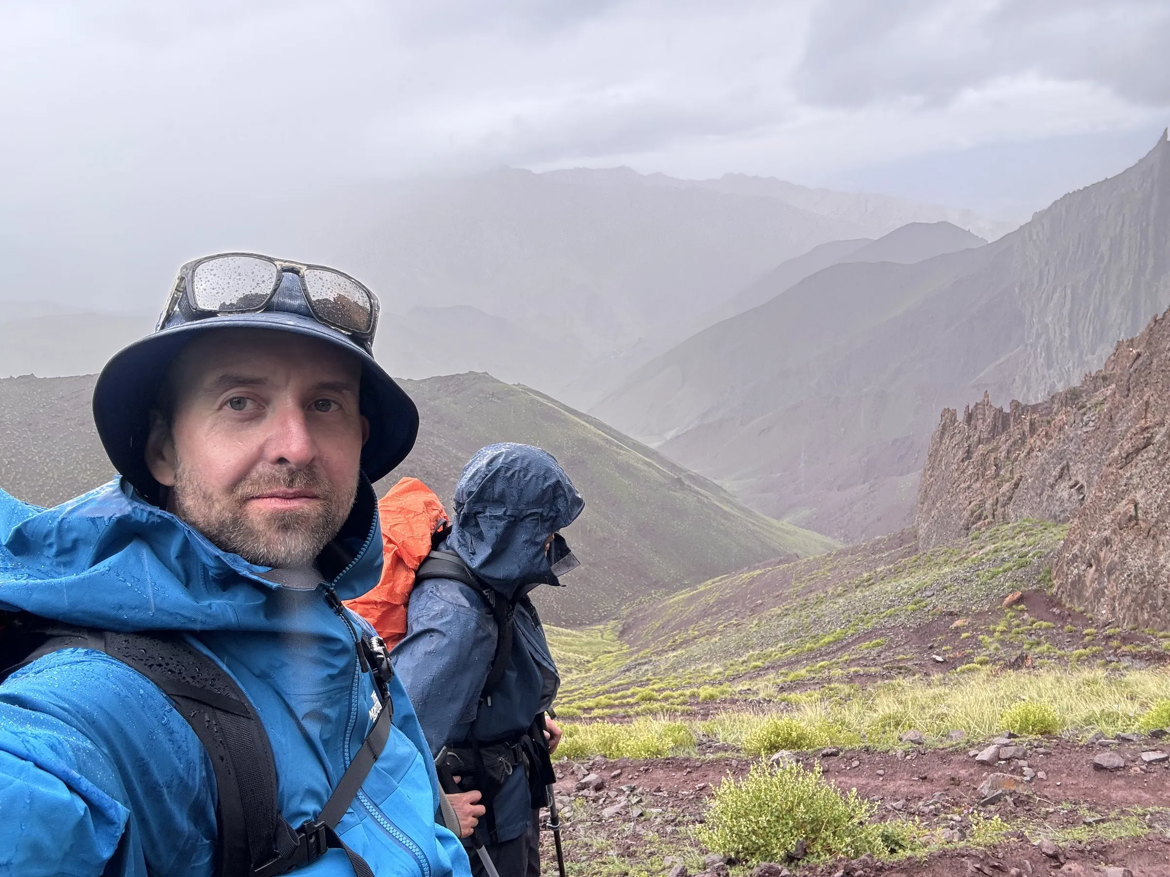
Everyone did well on the pass and the mood stayed high. The tents were comfortable, and the food was surprisingly fresh and tasty. Our guide, Jit, was calm and very experienced. By chance he also knows Udaya, my guide from Upper Mustang.
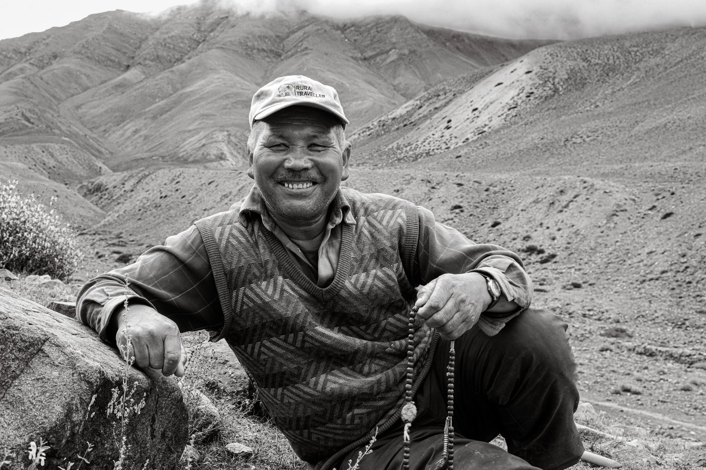
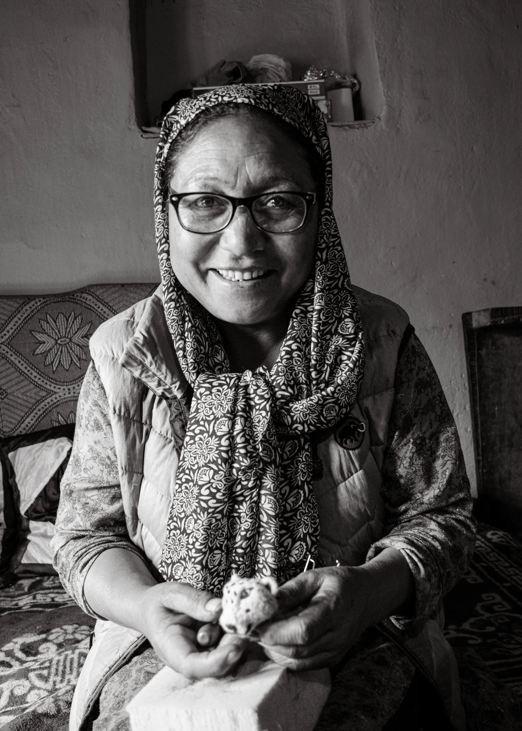
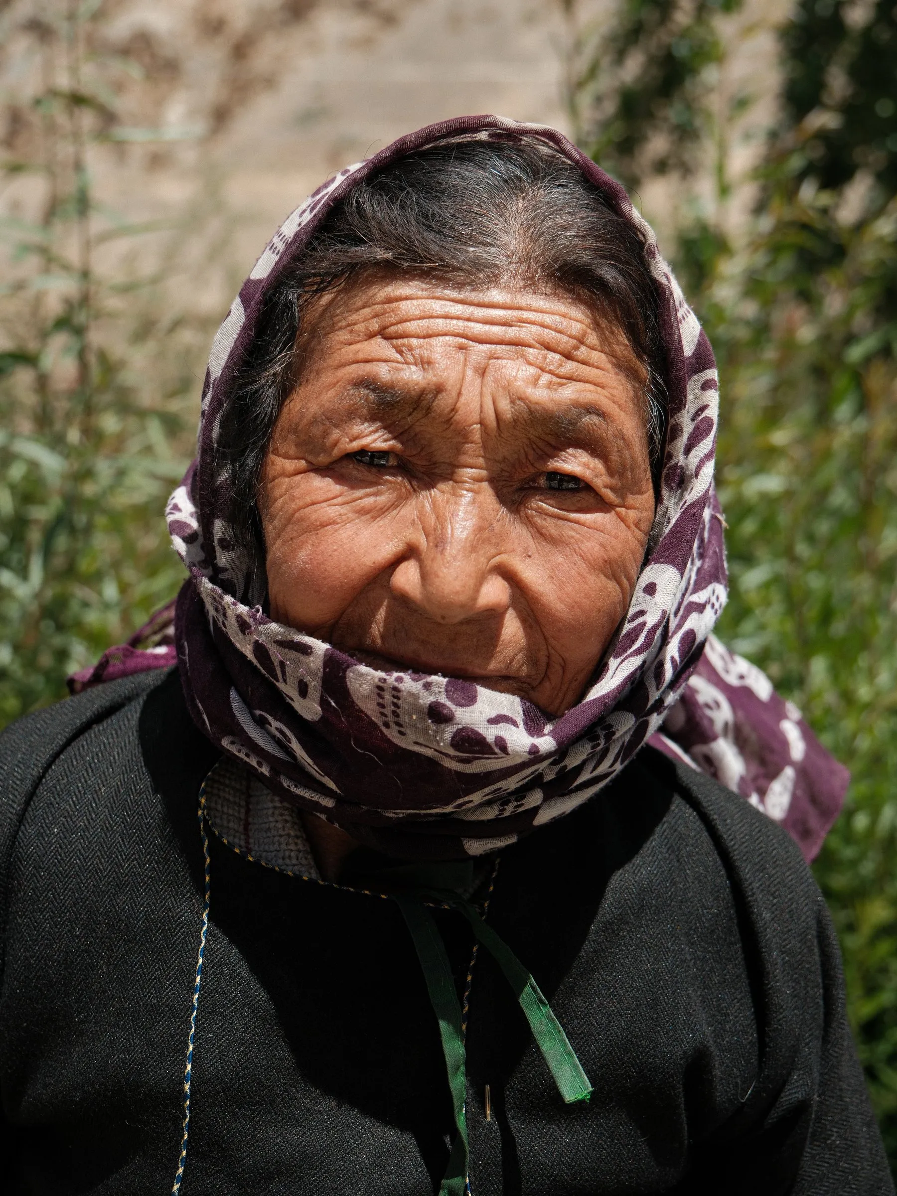
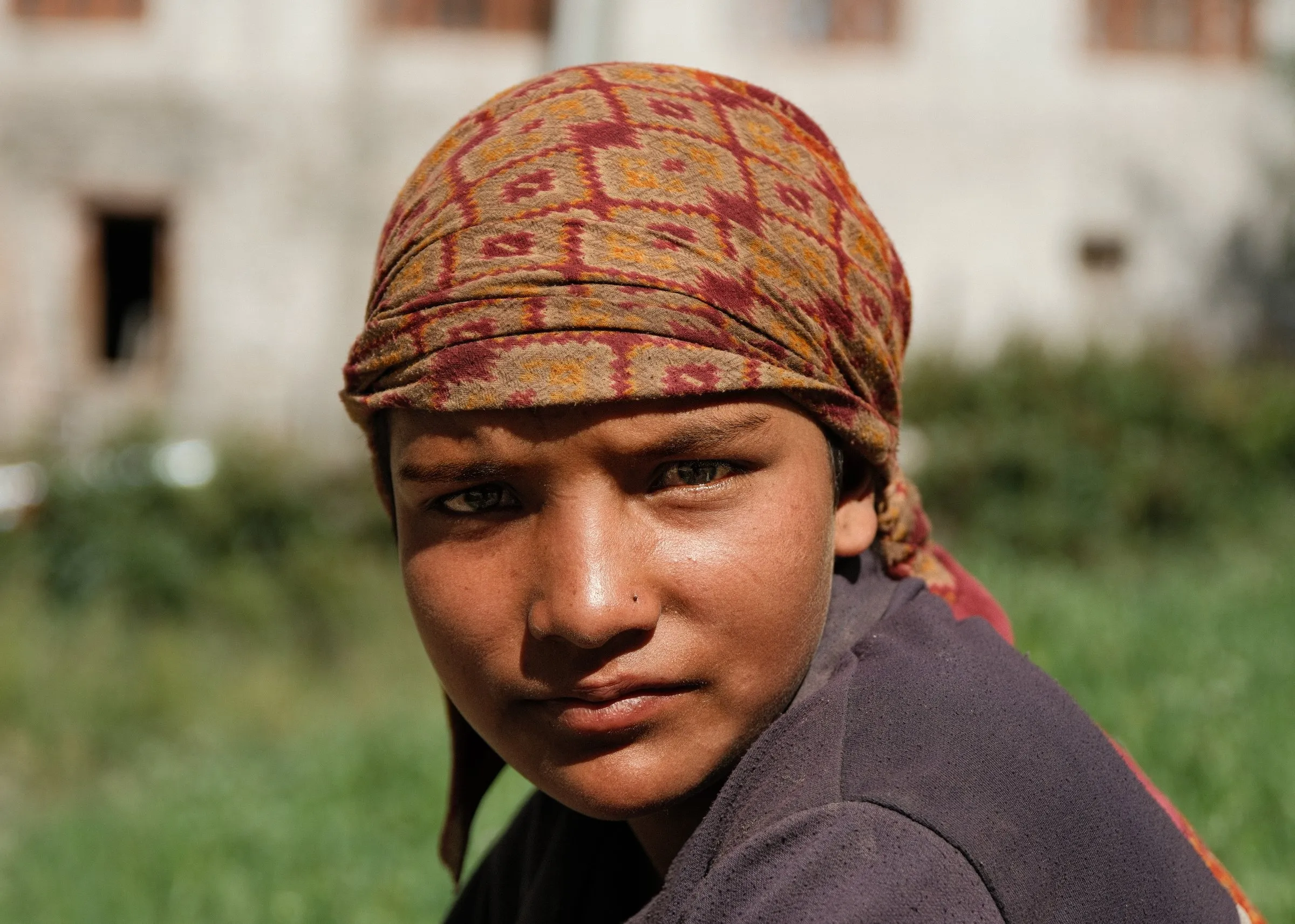
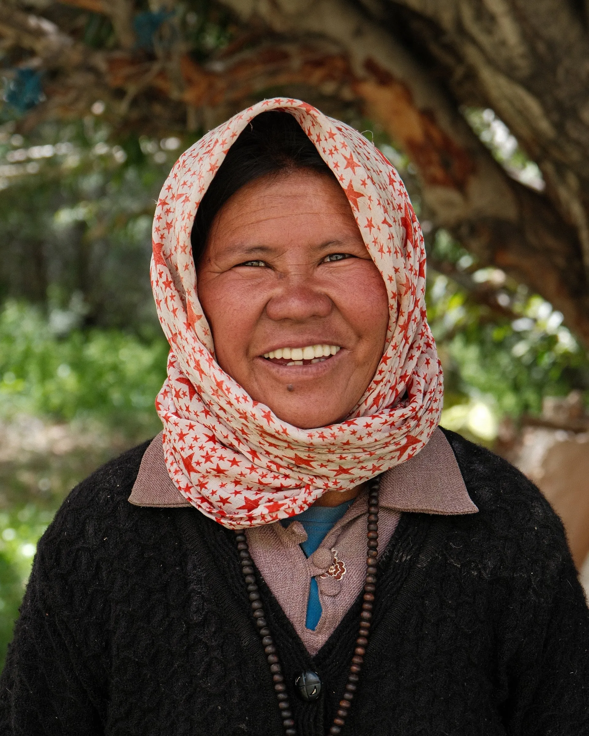
The rain kept the camera away most of the day, but I made the two portraits I like best from the early part of the trip. One was a herder resting on the ground in the valley, completely at ease in the landscape. The other was a woman at a small teahouse where we stopped. She was making little snow leopards out of wool.
Day 3: Over Ganda La to Skiu
Sunday 9 August · 20+ km · 9+ hours · +813m / −1,595m · High point: Ganda La, 4,961m · Camp: Skiu, 3,366m
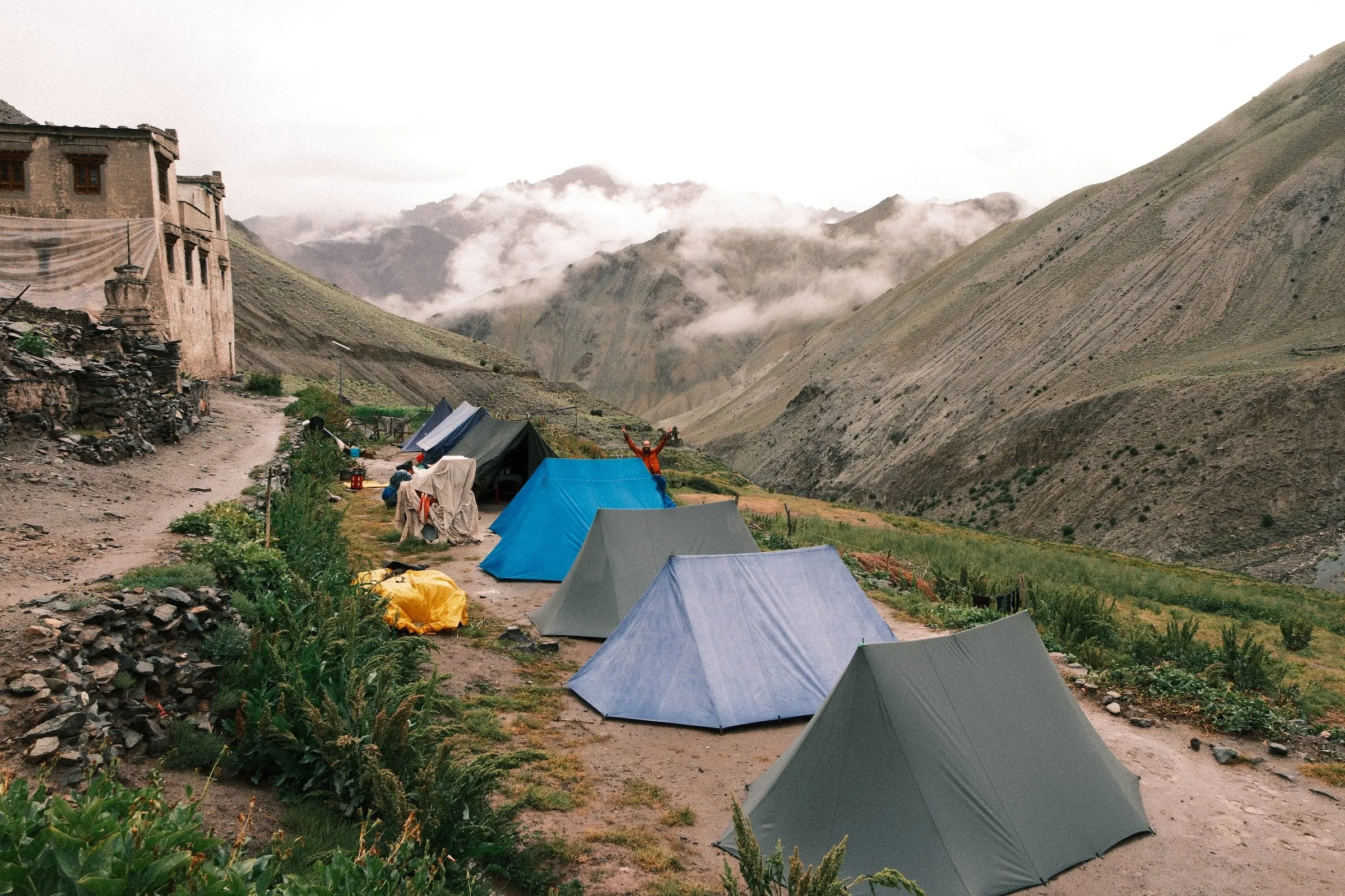
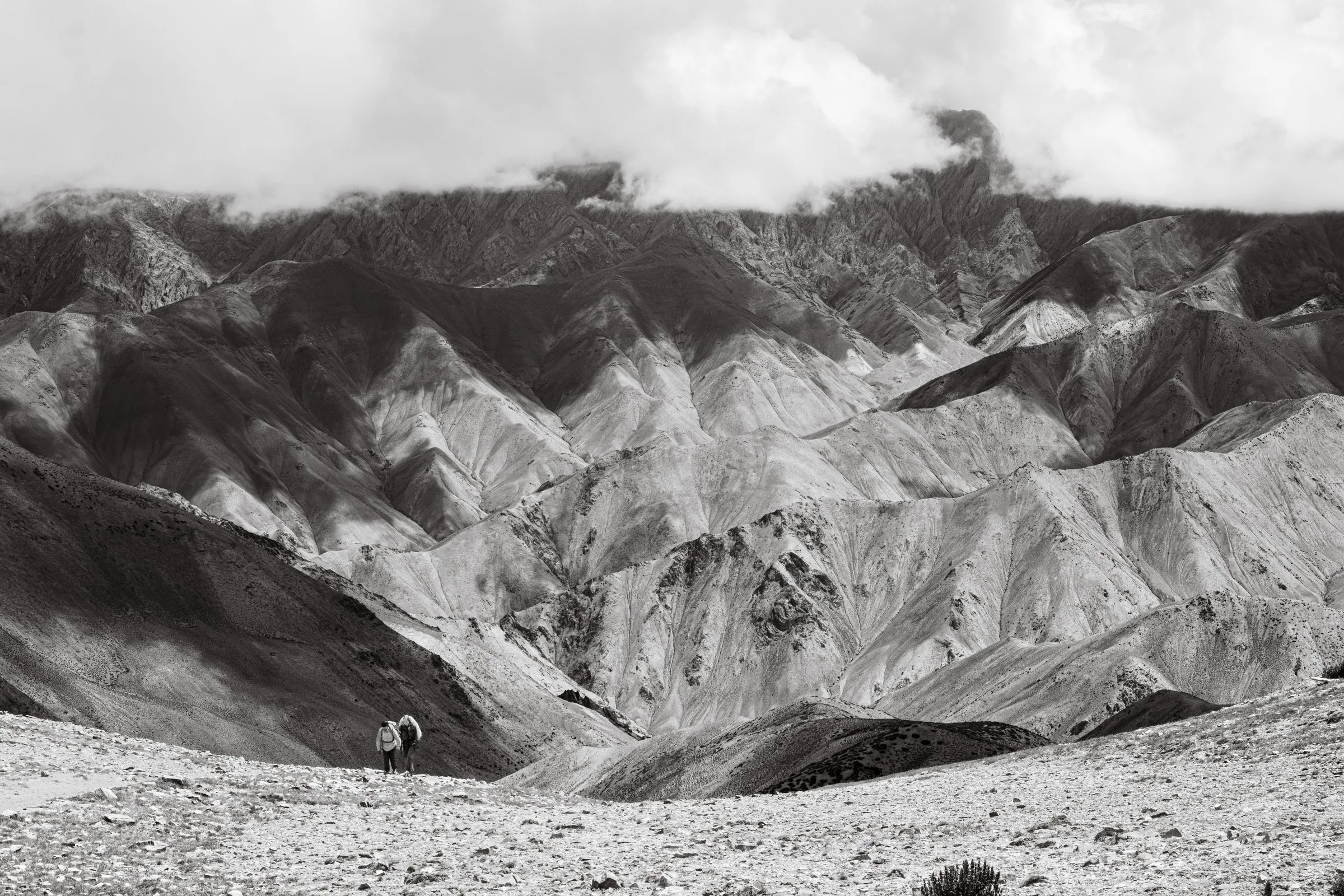
The morning took us through Shingo, with its old stone houses and clear streams. After that the land changed. We walked into huge red and brown valleys of jagged rock with a thin stream running through them. It was hot, dry and desert-like, and walking through it in the sunshine became my favourite memory of the day.
Antonio gets bursts of energy now and then, and Ganda La brought one on. He pushed up the pass faster than anyone. Soon the only sign of him was his orange bag cover, a tiny dot hundreds of metres ahead. When he reached camp, he ran straight into the river, lay flat in the cold water and lit a cigarette. That was when he became La Leyenda.
Marmots and yaks were fighting in the fields all around us. It must have been mating season: the males were head-butting and chasing each other to impress the females. Above them, eagles circled.
Photographically it was a quiet day, and I’ll be honest about why. The scenery looked a lot like Upper Mustang, and I struggled to find frames that felt truly new. Then golden hour came over camp, and I got a couple of group shots I’m really happy with.
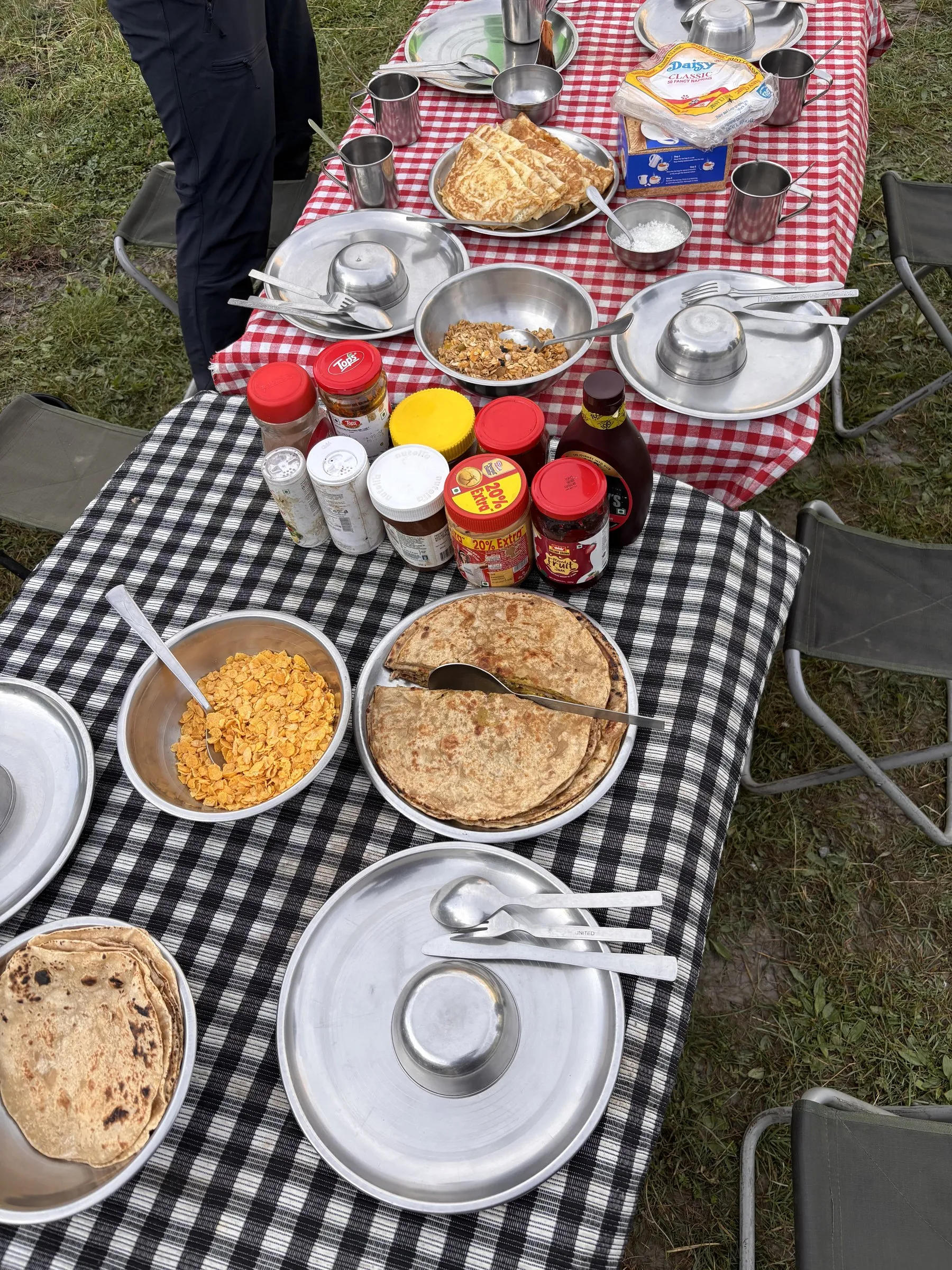
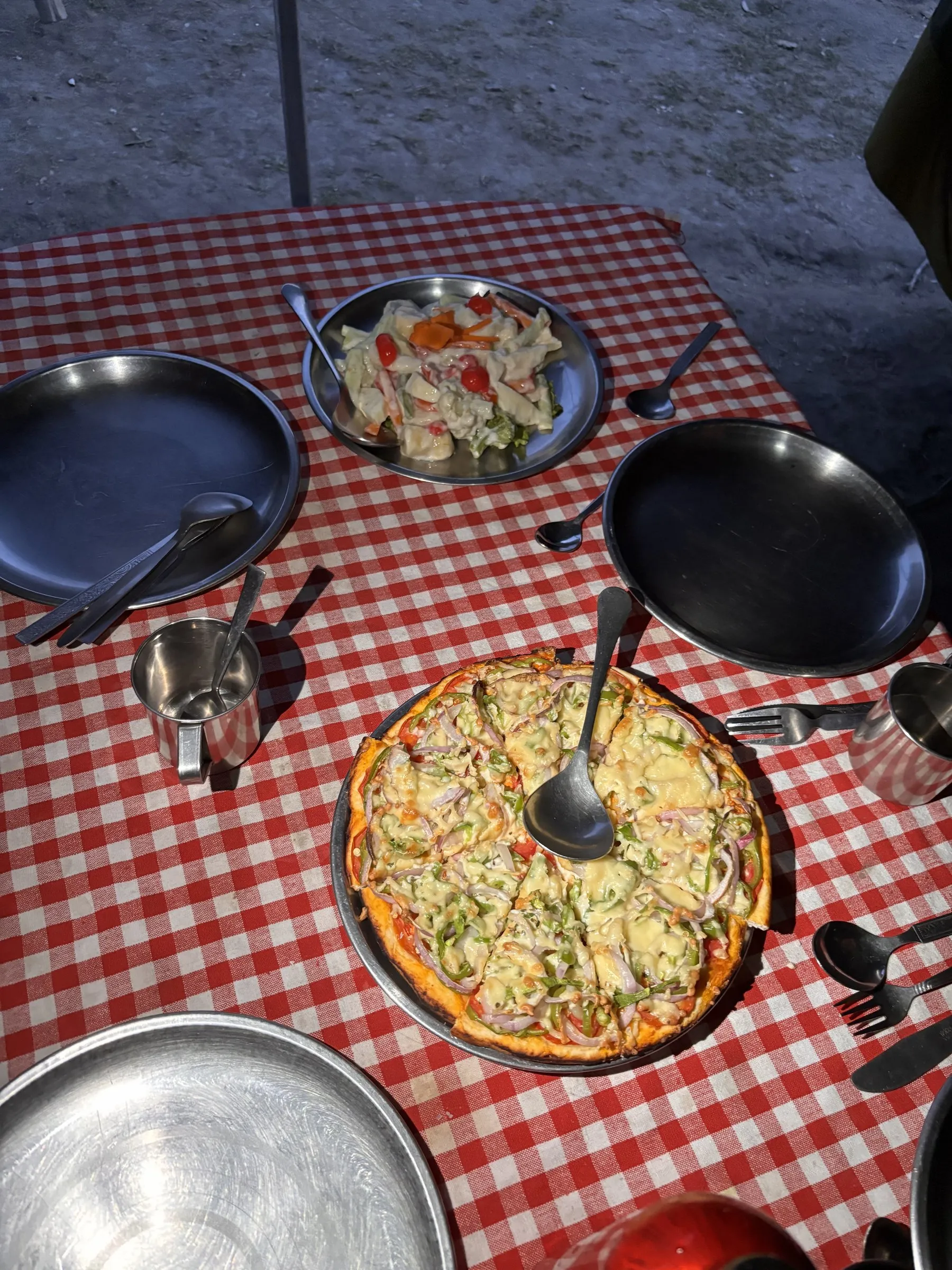
The food deserves its own paragraph. Our crew cooked Chinese dishes, momos, spring rolls, Indian curries and carefully decorated salads, with a little extra touch at every meal. It felt more like glamping than an expedition.
After dinner, millions of stars filled the sky: shooting stars, galaxies and constellations. We were camped at the edge of a small forest in a deep valley, the river roaring beside us and the crew chatting in Nepali. Looking up, I wondered whether anyone out there was looking back towards us. Mostly I felt grateful to be there at all.
Day 4: Skiu to Markha
Monday 10 August · 21.2 km · +451m · Camp: Markha, 3,760m
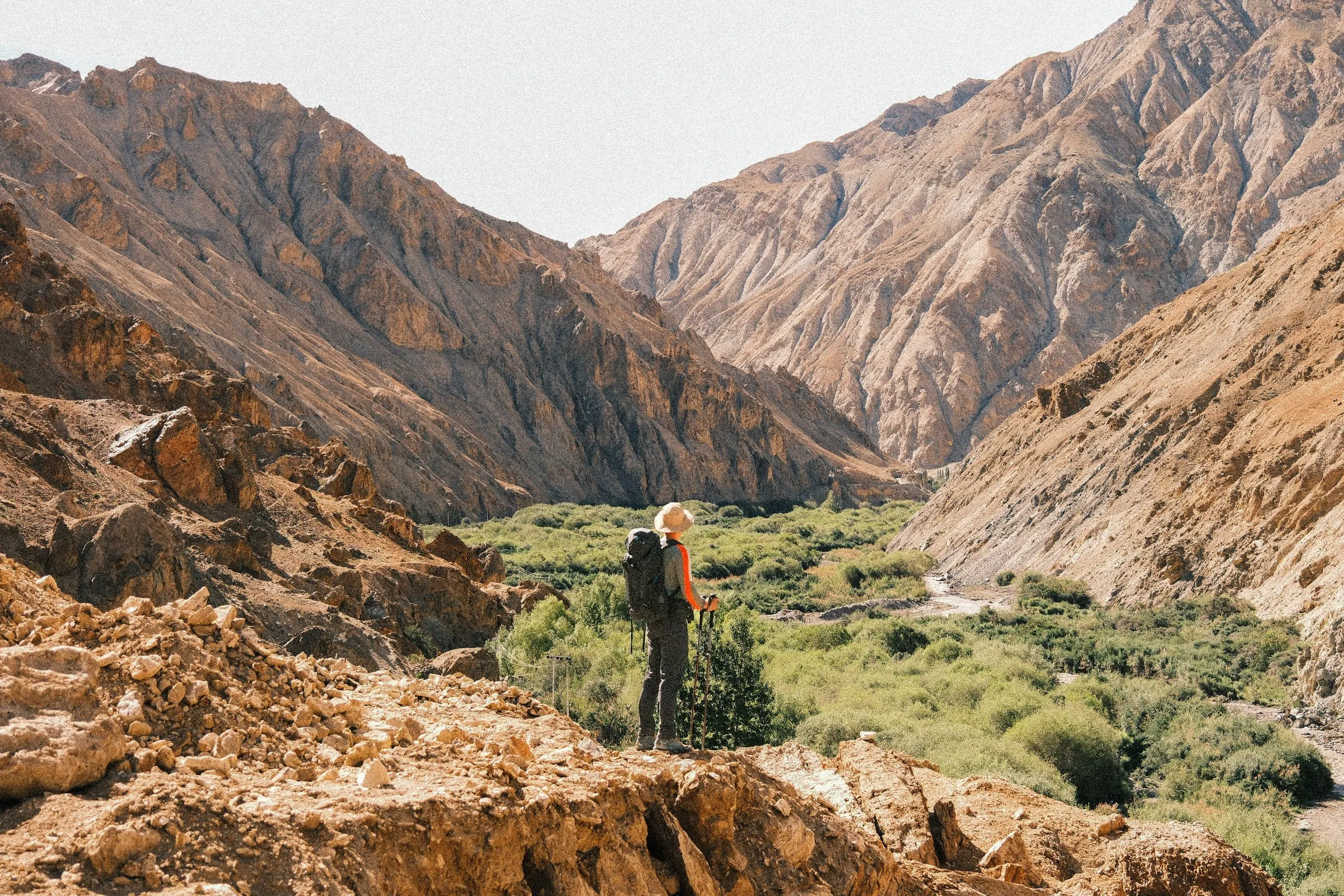
This was another 20-plus-kilometre day in the sun, though mostly flat and easy going. We passed a couple of small Tibetan monasteries and quiet villages as we entered the Markha Valley proper. The valley is deep, dry and rocky, and it feels a long way from anywhere.
A few kilometres before camp we stopped for a dip in the river. It was very refreshing and lifted everyone’s spirits. After eight and a half hours of walking we lay outside the tents in the warm sunshine while the crew played Nepali music from a little speaker.
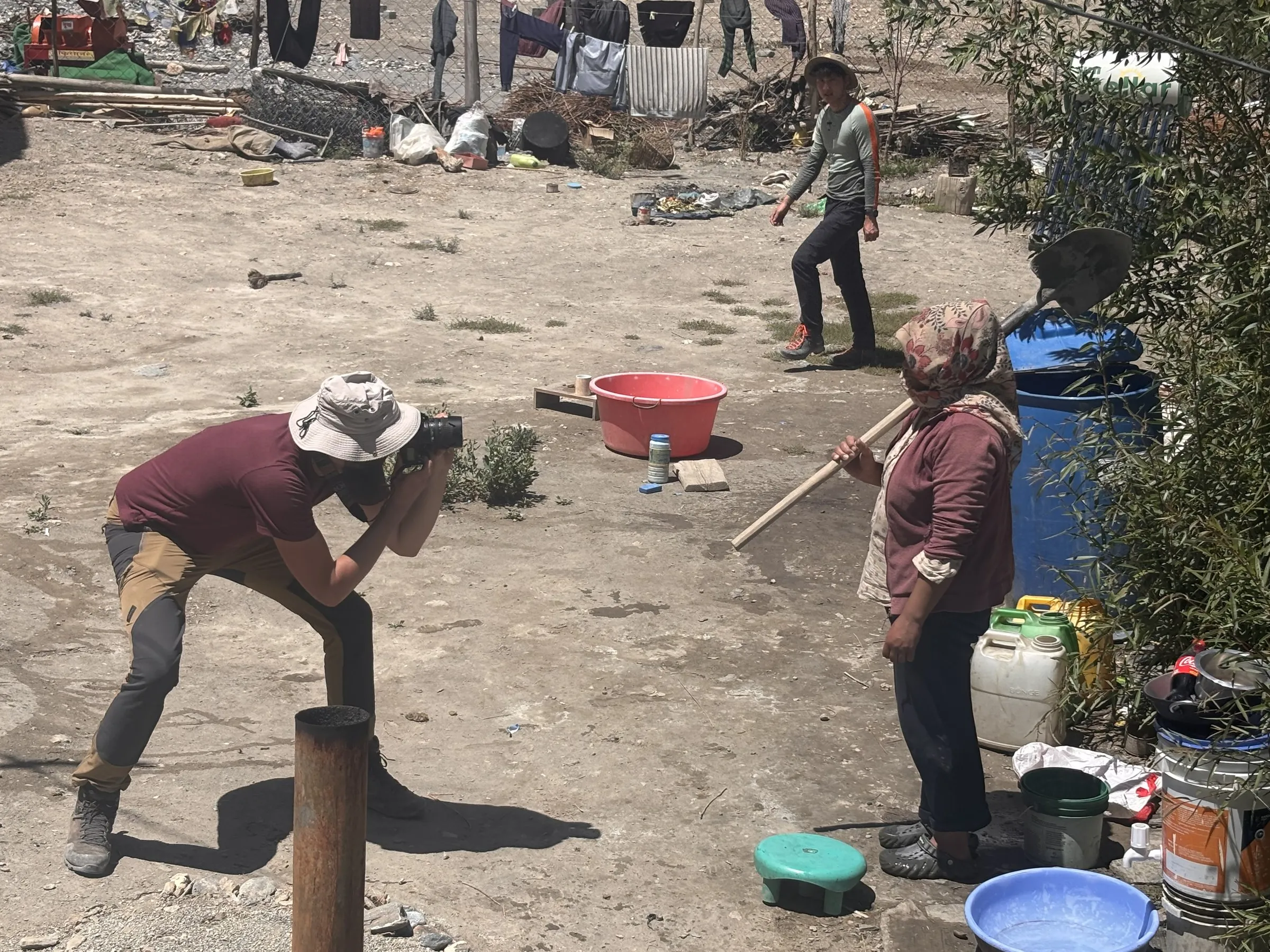
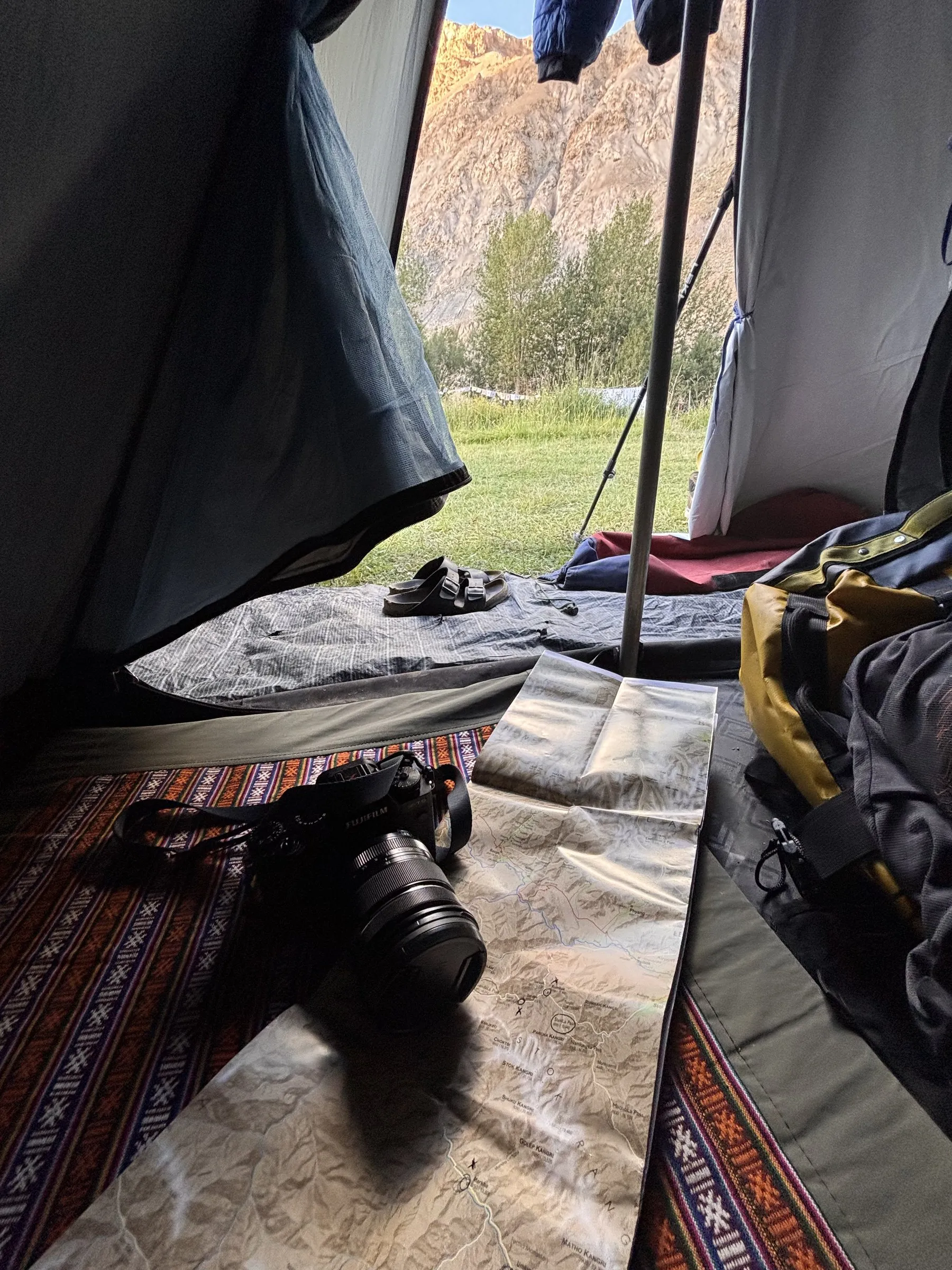
The day also left me with a large open blister on my left big toe. I almost never get blisters, so I hadn’t packed anything for them. Aurélien lent me some Compeed. I put it on badly, so it slid every time my toe flexed. It’s a small thing, but on a 10-day trek small things become big ones. A blister kit now lives in my bag permanently.
Day 5: Markha to Tachungtse
Tuesday 11 August · 18+ km by my watch · 8+ hours · +655m · Camp: Tachungtse, 4,376m
One hell of a storm. It was another long day, and on the last 5 km to Tachungtse a huge rain and thunderstorm caught us. It soaked my clothes, boots and bag to the core. I had a rain jacket and a bag cover, and they weren’t nearly enough.
At camp I strung up my paracord as a makeshift washing line across the tent, and the drying system just about worked. It was a real lesson in being prepared for the weather. Next time I’ll carry a poncho for heavy downpours and keep my clothes inside waterproof dry bags.
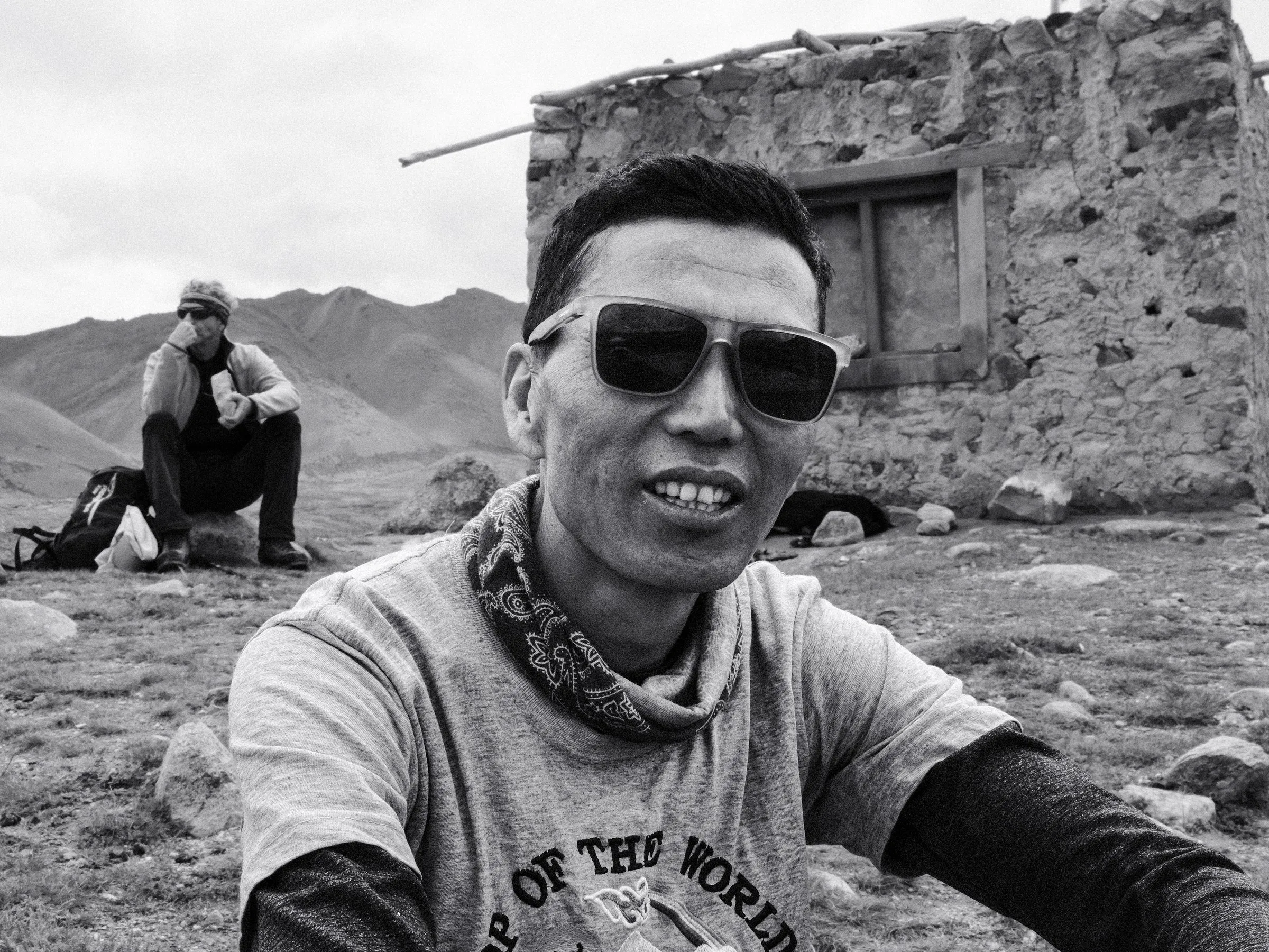
Strangely, I came out of the day feeling good. Bad weather makes for moody light, and I still came away with some good photographs. The terrible weather was good training for Manaslu, and it helped me get organised for it.
The blister from Day 4 taught me something too. It opened up again every day, with a real risk of infection. Agathe and Ambrose lent me antiseptic, and I realised I need my own in my medical kit.
Day 6: Tachungtse to Base Camp
Wednesday 12 August · 6.9 km by my watch (9.3 km planned) · Camp: Base Camp, 5,130m
My Hanwag boots were still wet from the storm, so I walked up to Base Camp in my La Sportiva G2 Evo high-altitude boots. They were overkill for a four-hour hike, but they kept my feet dry and worked surprisingly well.
After that, the day was all about resting, acclimatising and staying dry. Which brings us back to where this diary began: 8pm, writing by smartwatch light, heavy rain on the tent, and a plan to stay in my sleeping bag until 8am.
I felt well prepared, fully recovered and eager to finish this last training step before Manaslu.
Day 7: Rest and acclimatisation at Base Camp
Thursday 13 August · short acclimatisation walk above camp
I woke around 6am to blue sky and scattered clouds, then walked slowly around Base Camp as the sun came up.
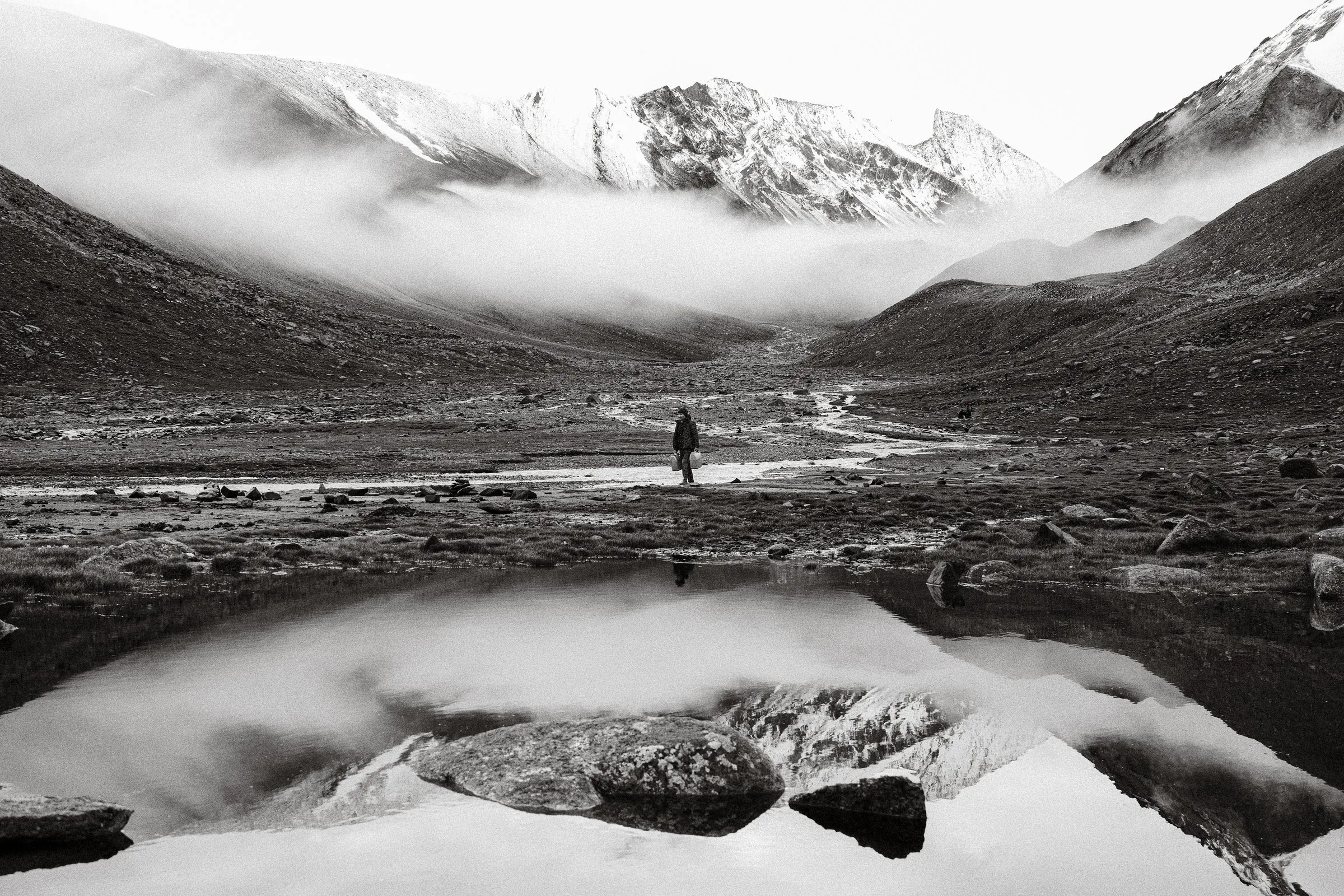
A rest day at Base Camp turned out to be a pleasure in itself. Pikas darted between the rocks around the tents. Morning sun crept down the mountain and across the campsite, and the river ran fast and loud nearby. High above us, two climbers were descending Kang Yatse II, two tiny specks against a huge white glacier.
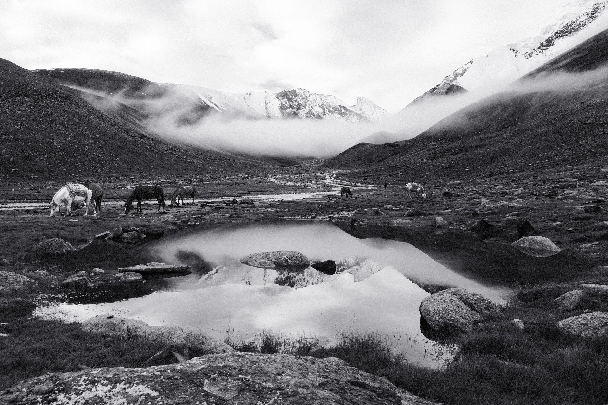
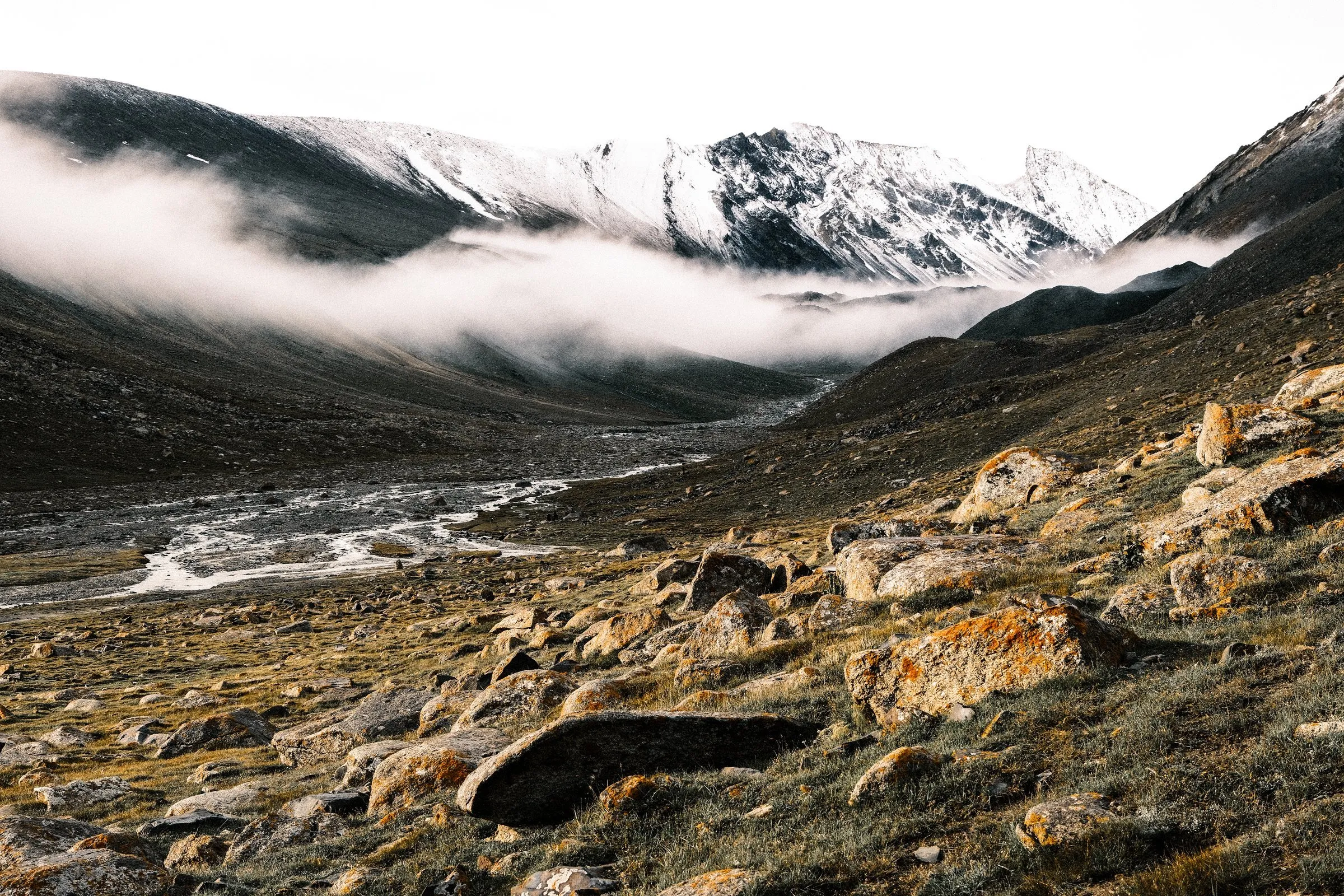
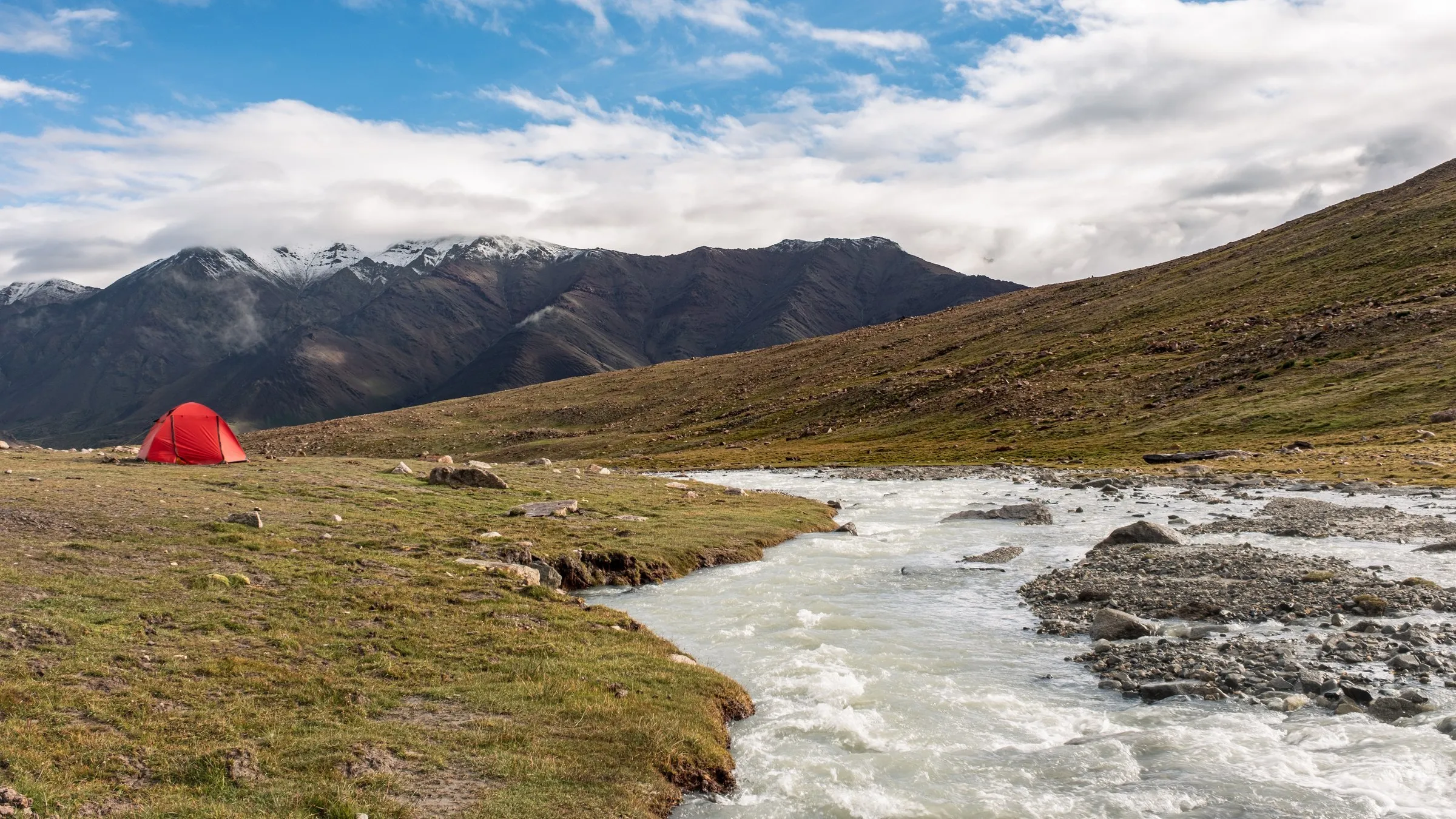
I felt completely at peace, deep inside the Himalaya with that landscape on every side.
Then came the practical part: a full gear check and a short acclimatisation hike. After that we ate well and tried to sleep before our 00:30 departure.
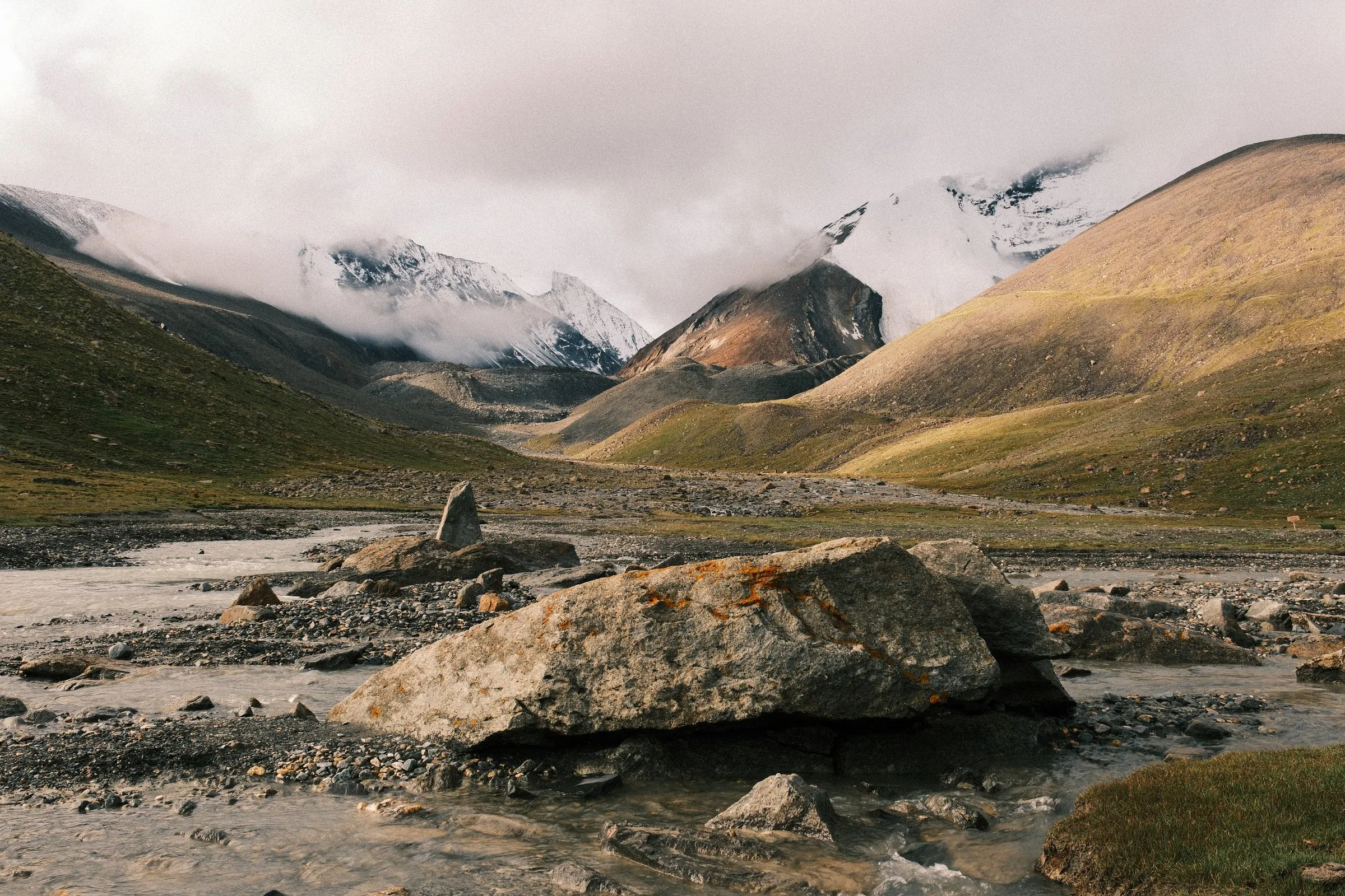
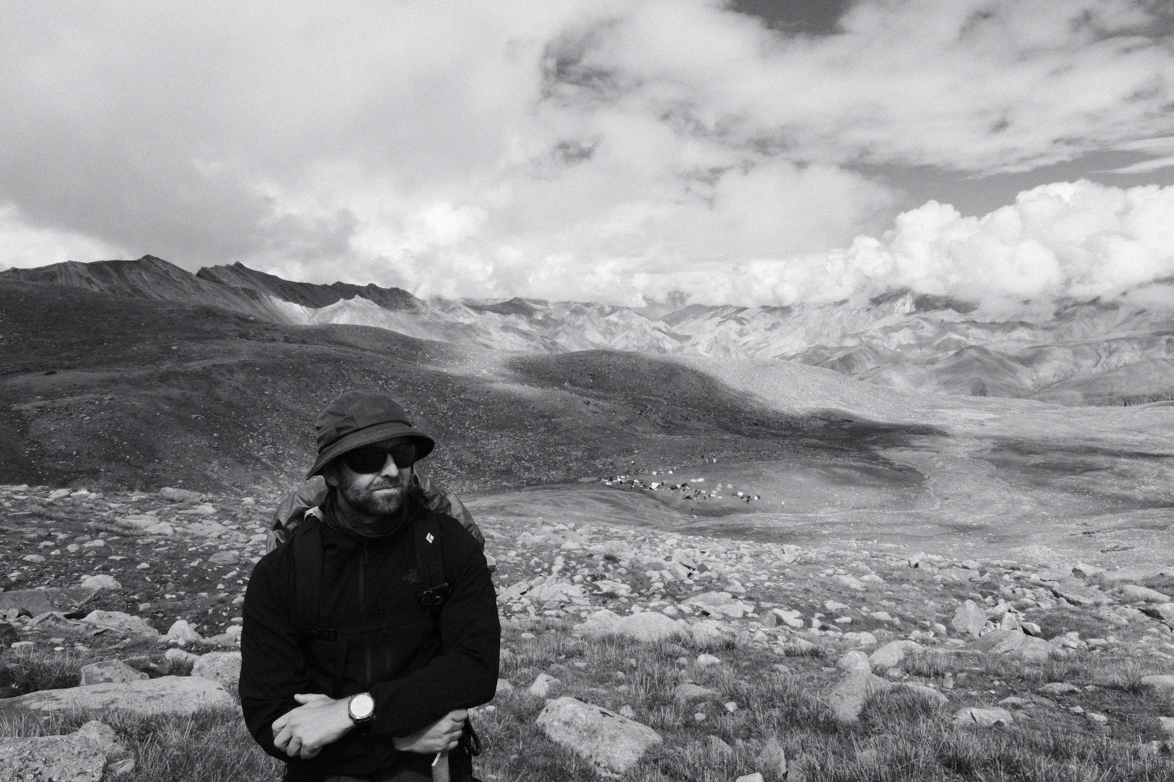
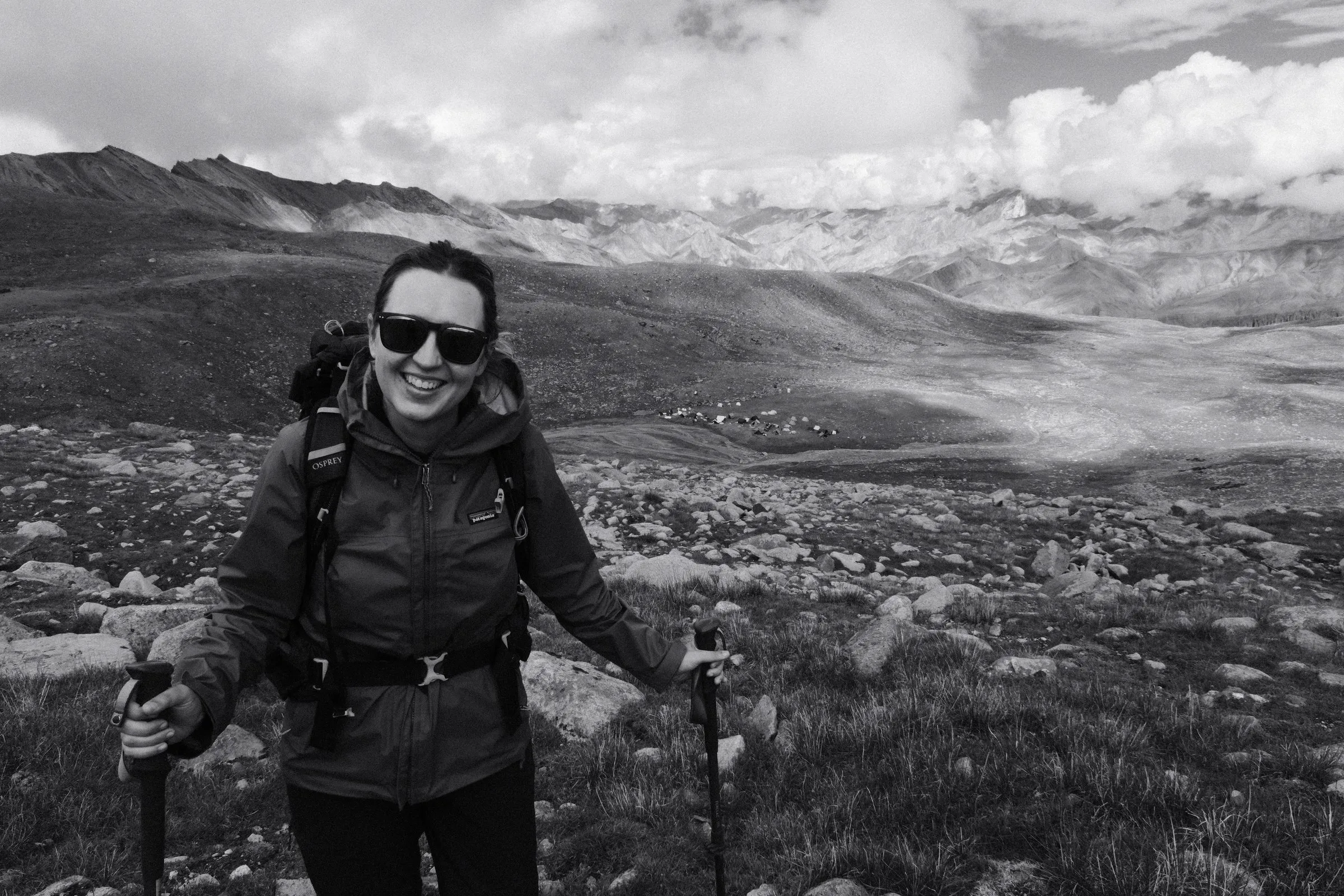
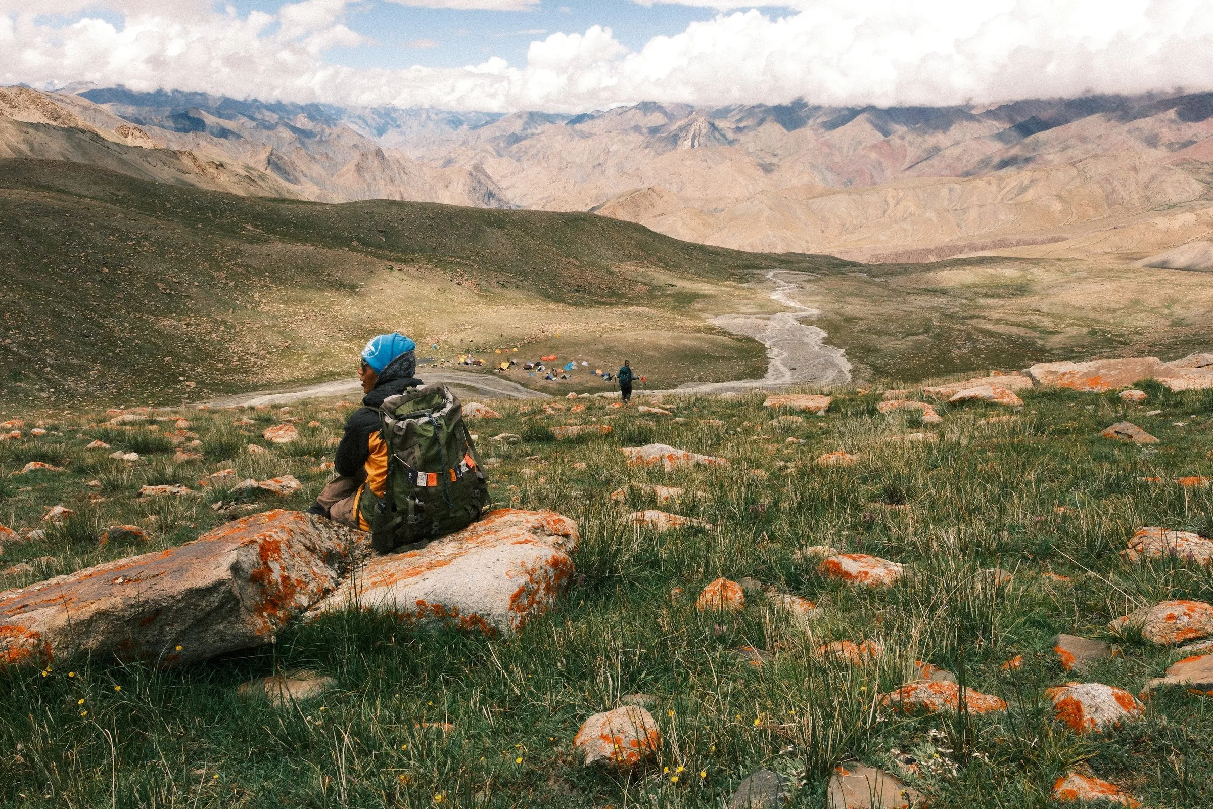
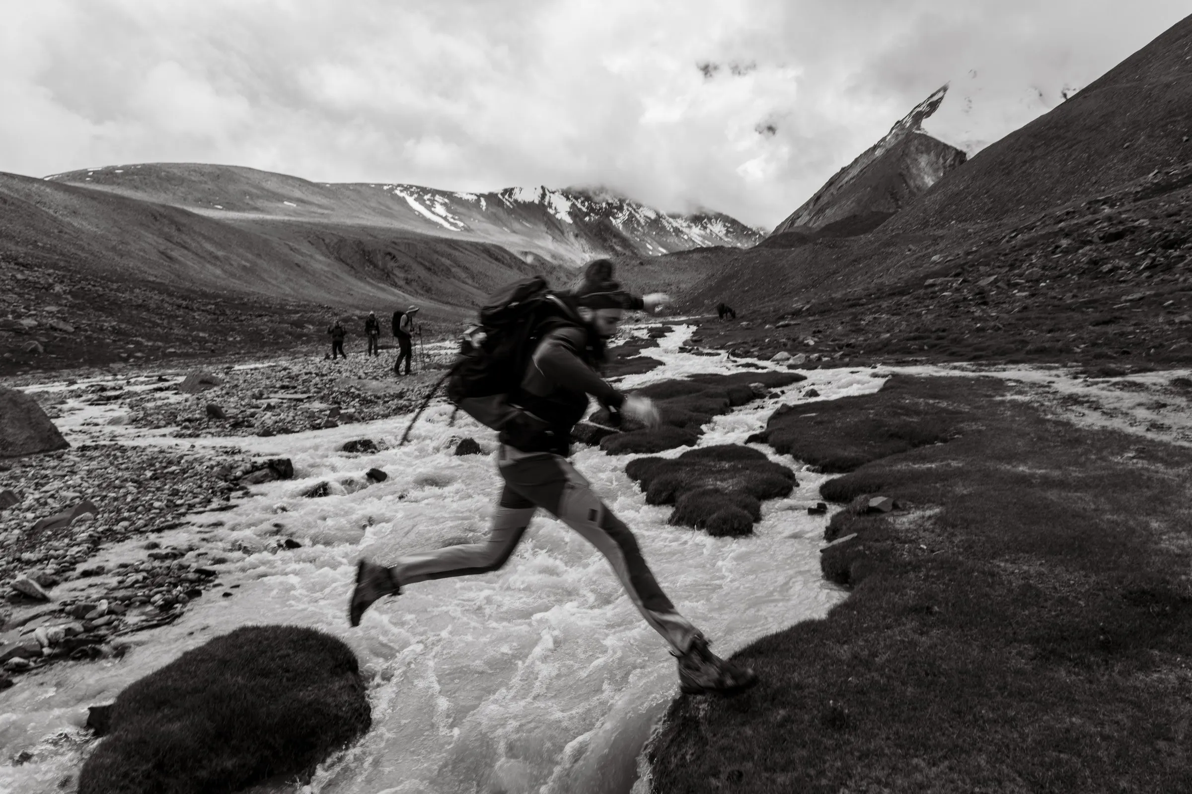
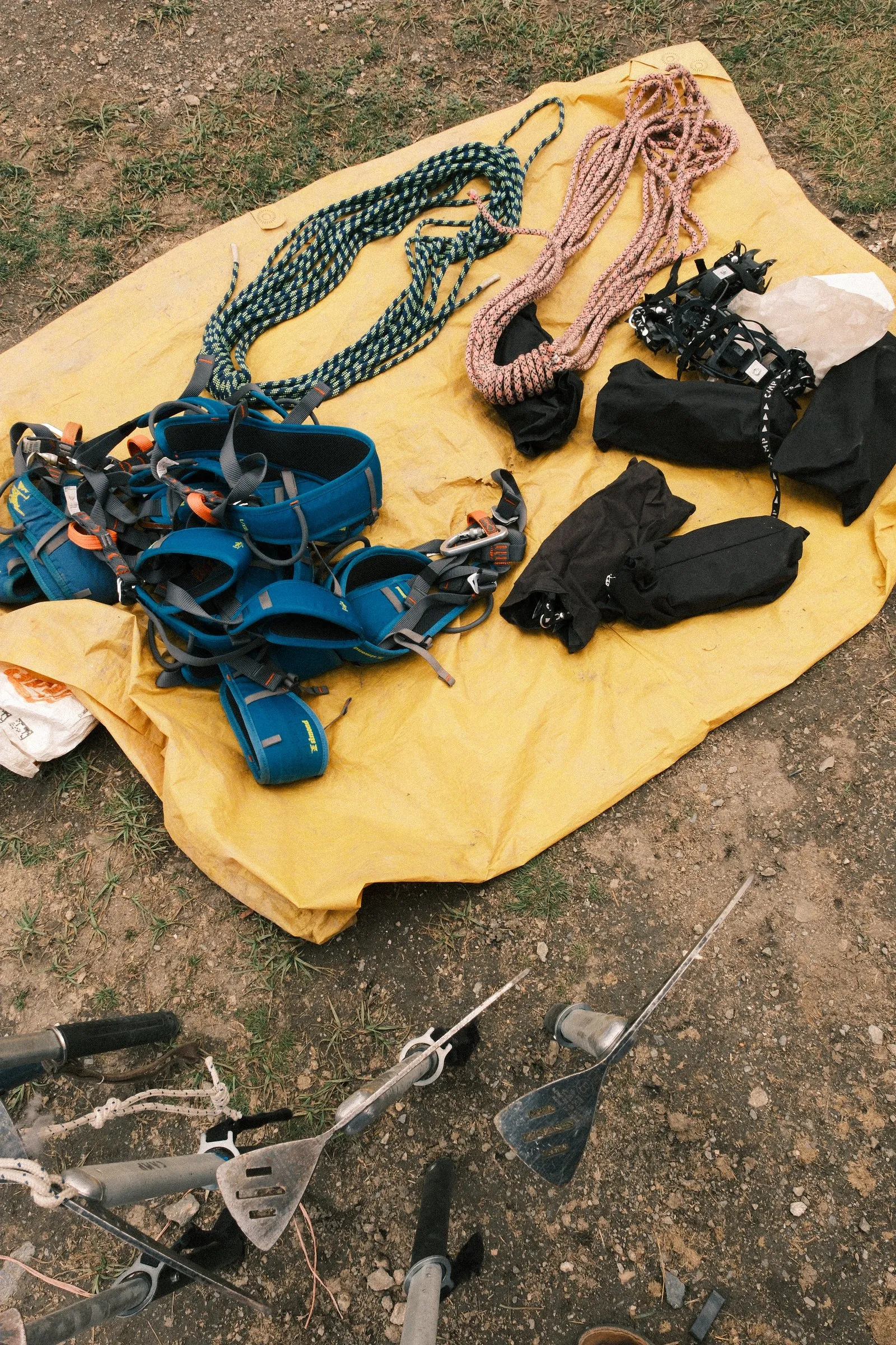
A big part of expedition life is learning how to rest and recover, and how to stay warm and healthy while you wait.
Day 8: Summit day, Kang Yatse II (6,200m)
Friday 14 August · ~9 km · 12.5 hours · Base Camp → summit → Base Camp
The alarm went off at 23:30, an hour before our planned 00:30 departure. Outside, there was extremely heavy rain, so we waited.
At 02:30 the rain eased and we set off. The route began in the dark under a starry sky, with our head torches strung out up the slope.
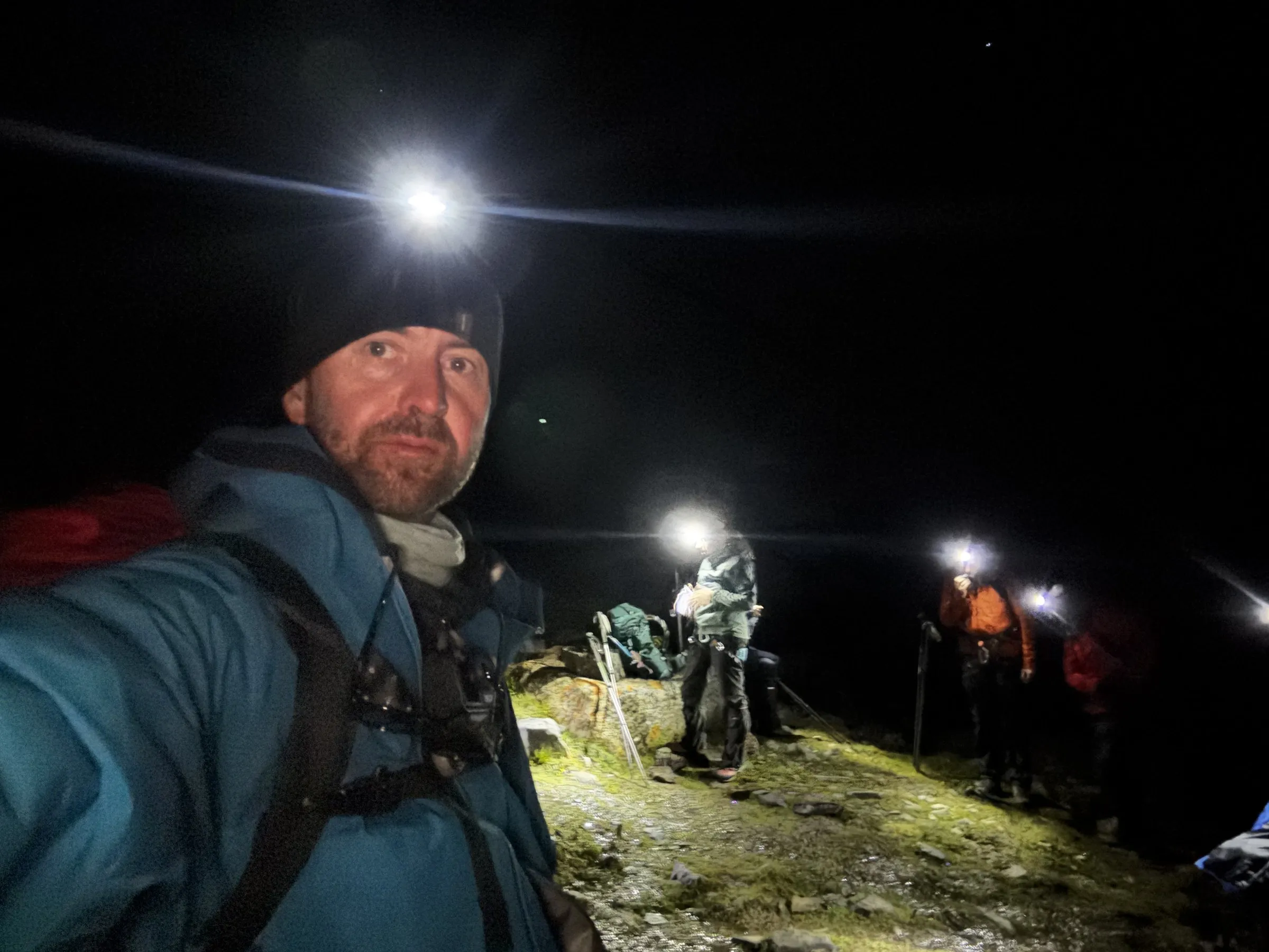
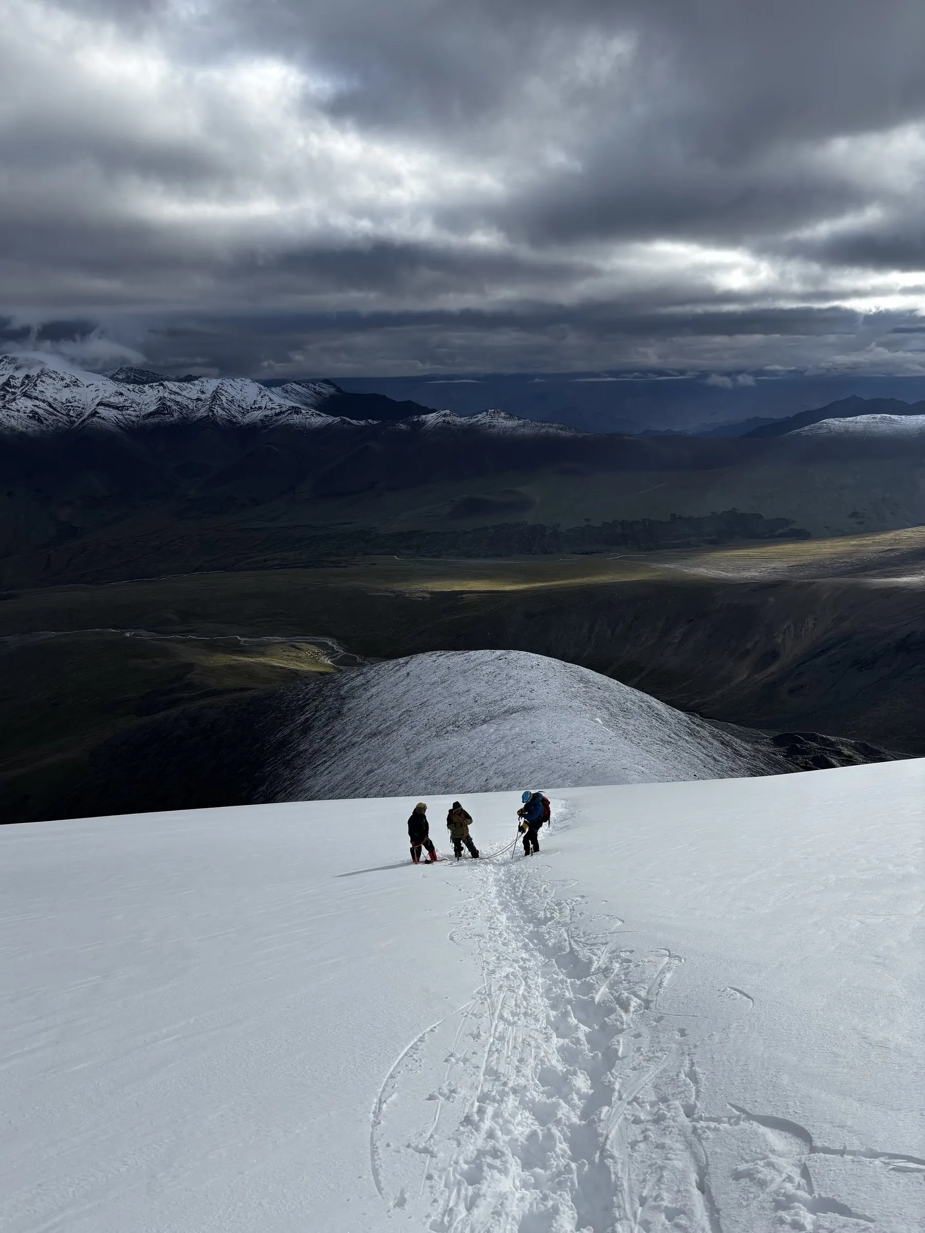
It took about three hours to reach crampon point. We arrived just as first light reached the snow ridge, with heavy cloud above and snow peaks breaking through on the horizon. Then we roped up and started the long traverse of the glacier.
That traverse went on for hours, in deep snow, one slow step after another. Everyone was exhausted. But every time I looked up, the views made it worth it: the Stok Range, the Markha Valley we’d spent a week walking through, and the Himalaya stretching out beyond. The climb had a bit of everything: glacier travel, an exposed ridge and long stretches of trekking uphill and down. It was brutal, and it was beautiful.
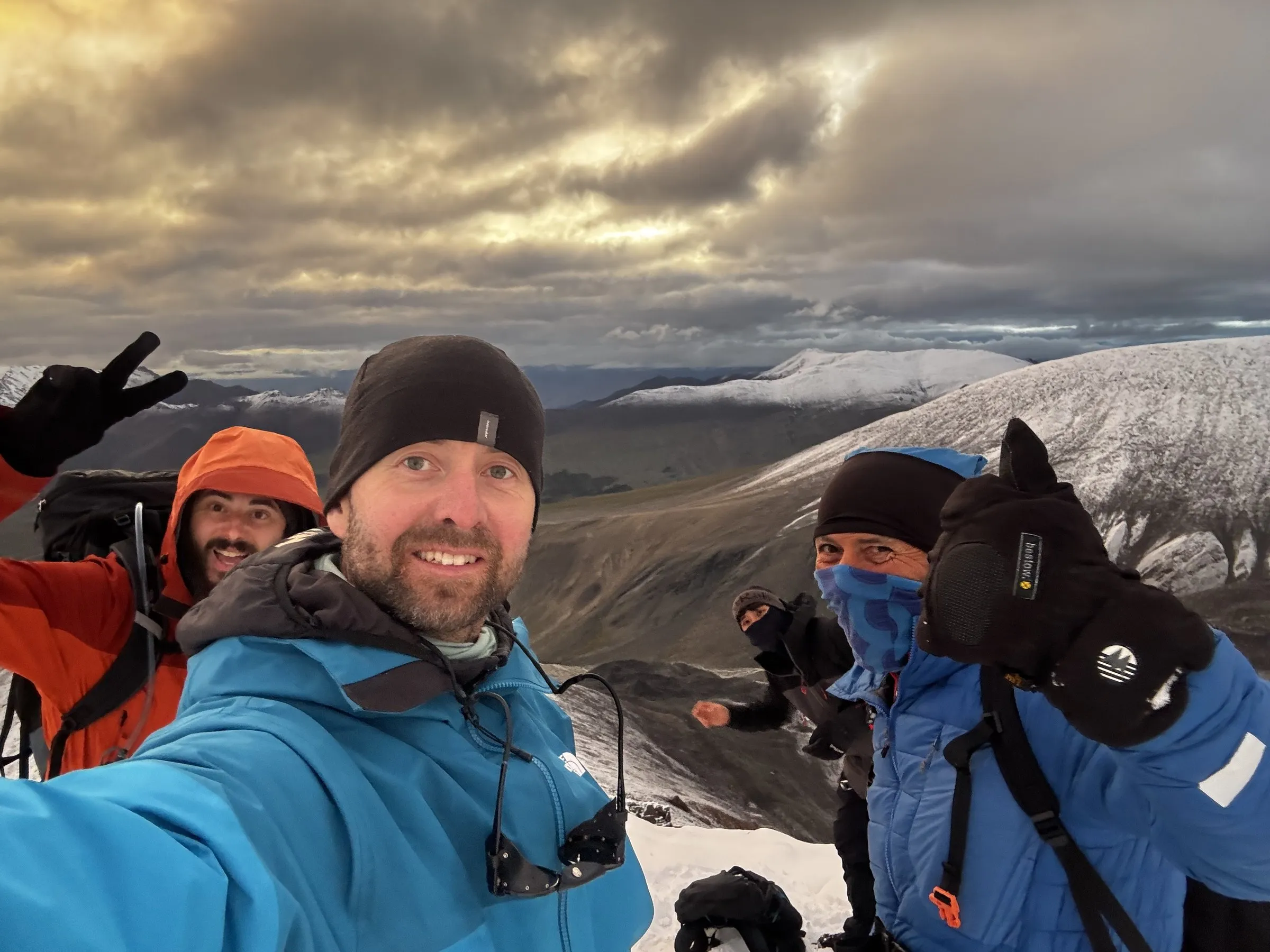
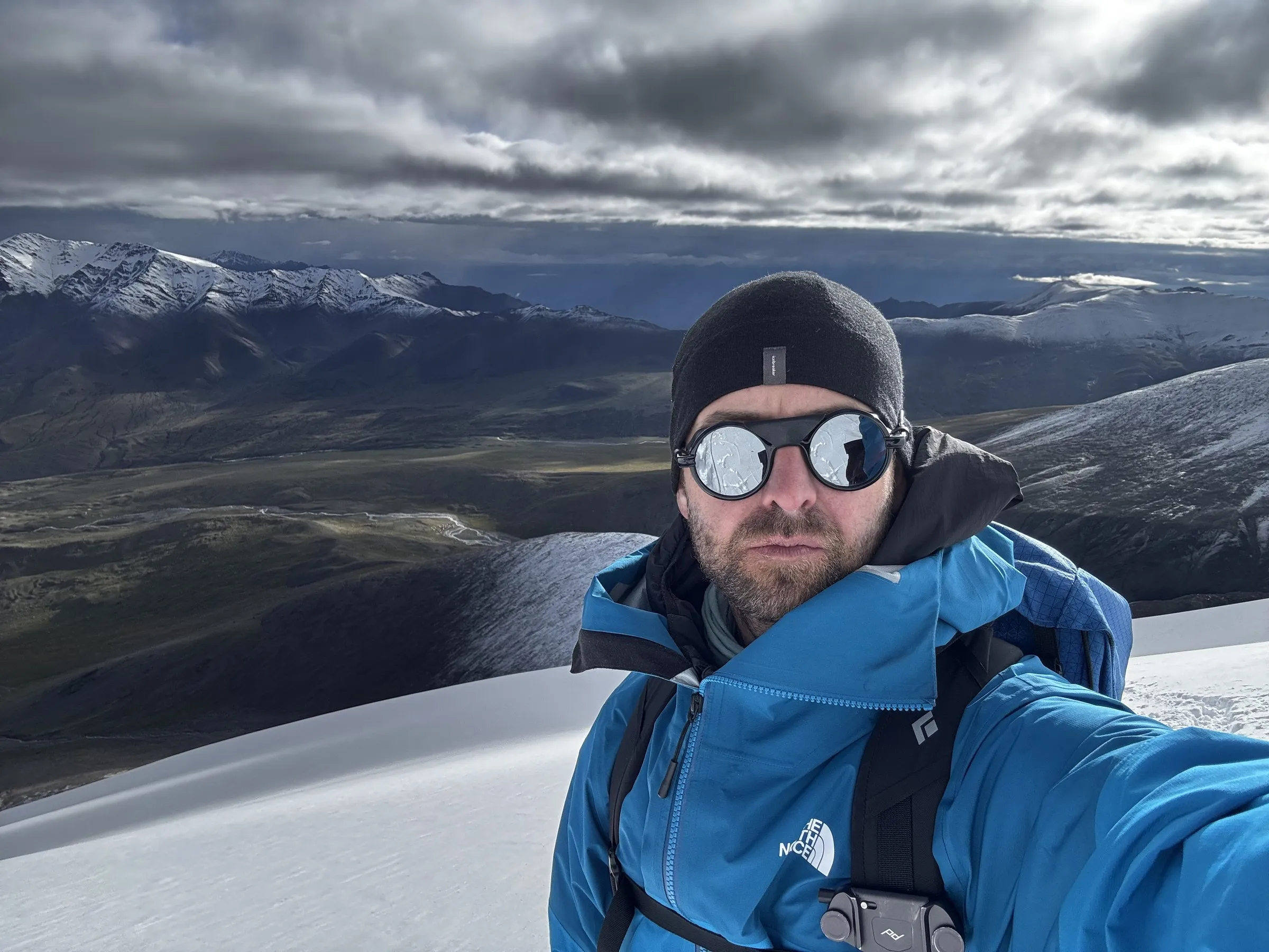
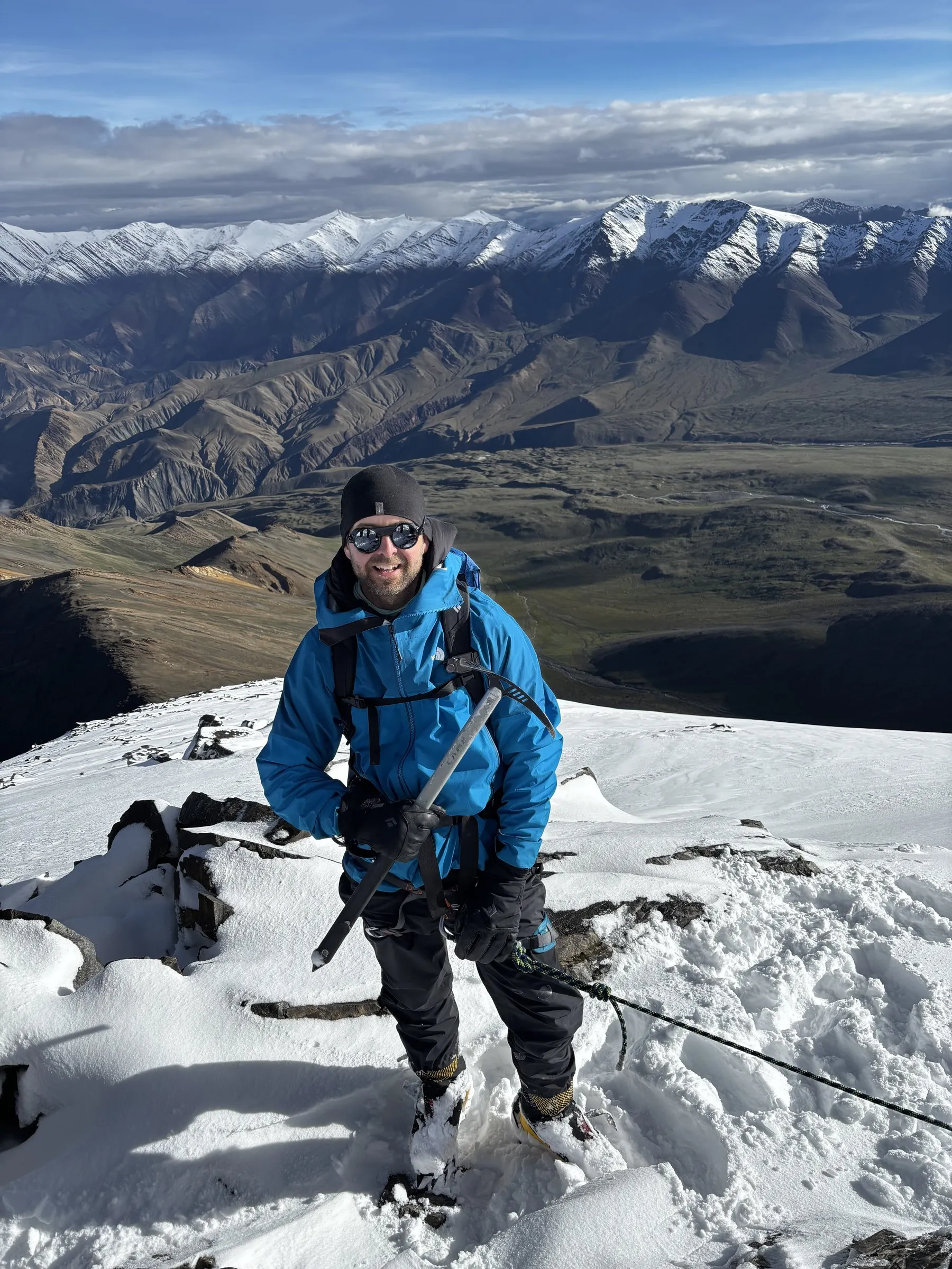
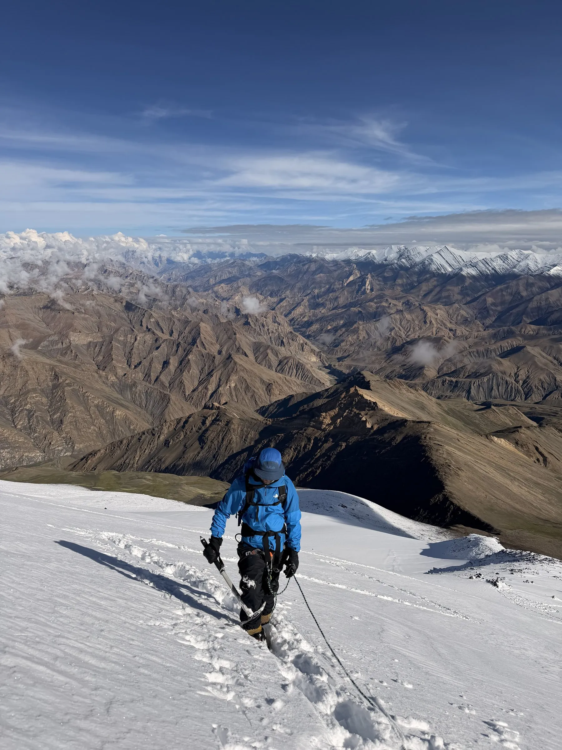
We reached the summit at around 10:40, about eight hours after leaving camp. Cloud had rolled in around the top, so the summit was a white world: the Ju-Leh Adventure banner, an ice axe raised and a team selfie full of tired, delighted faces.
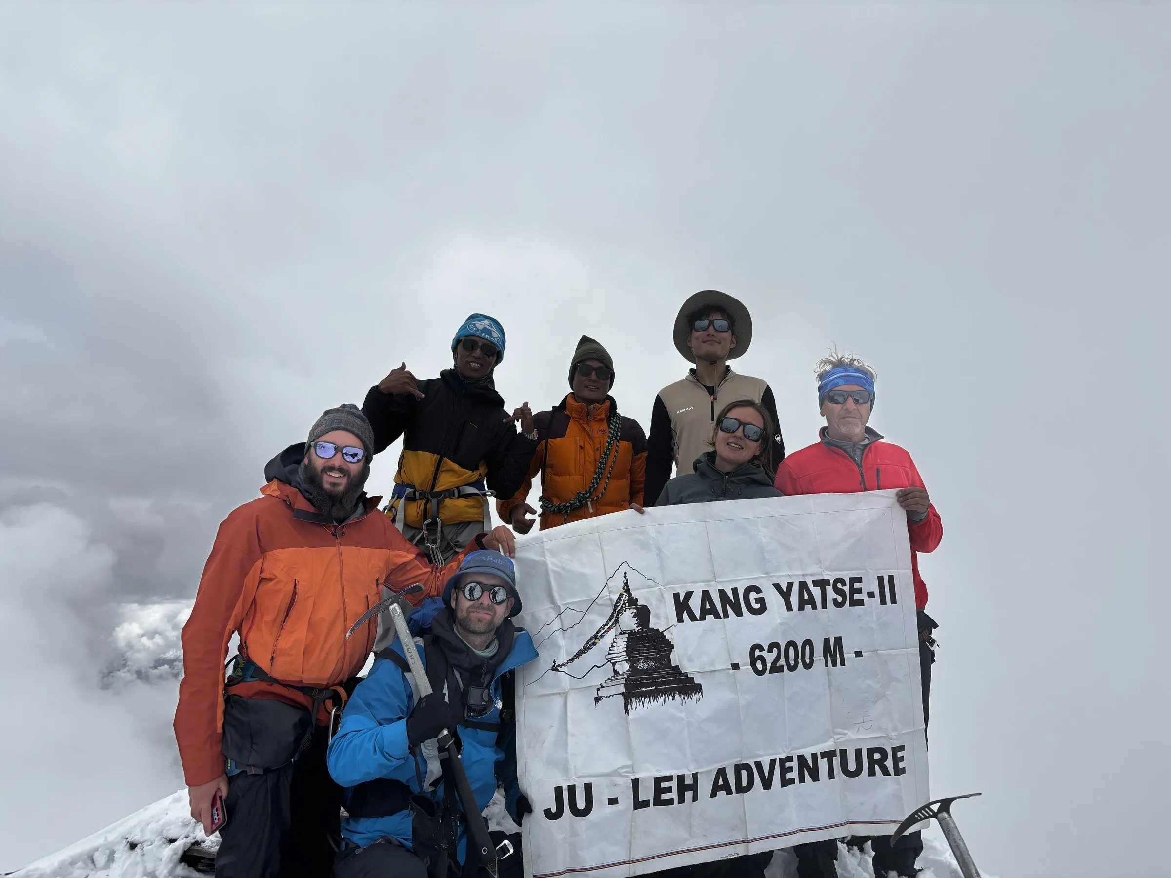
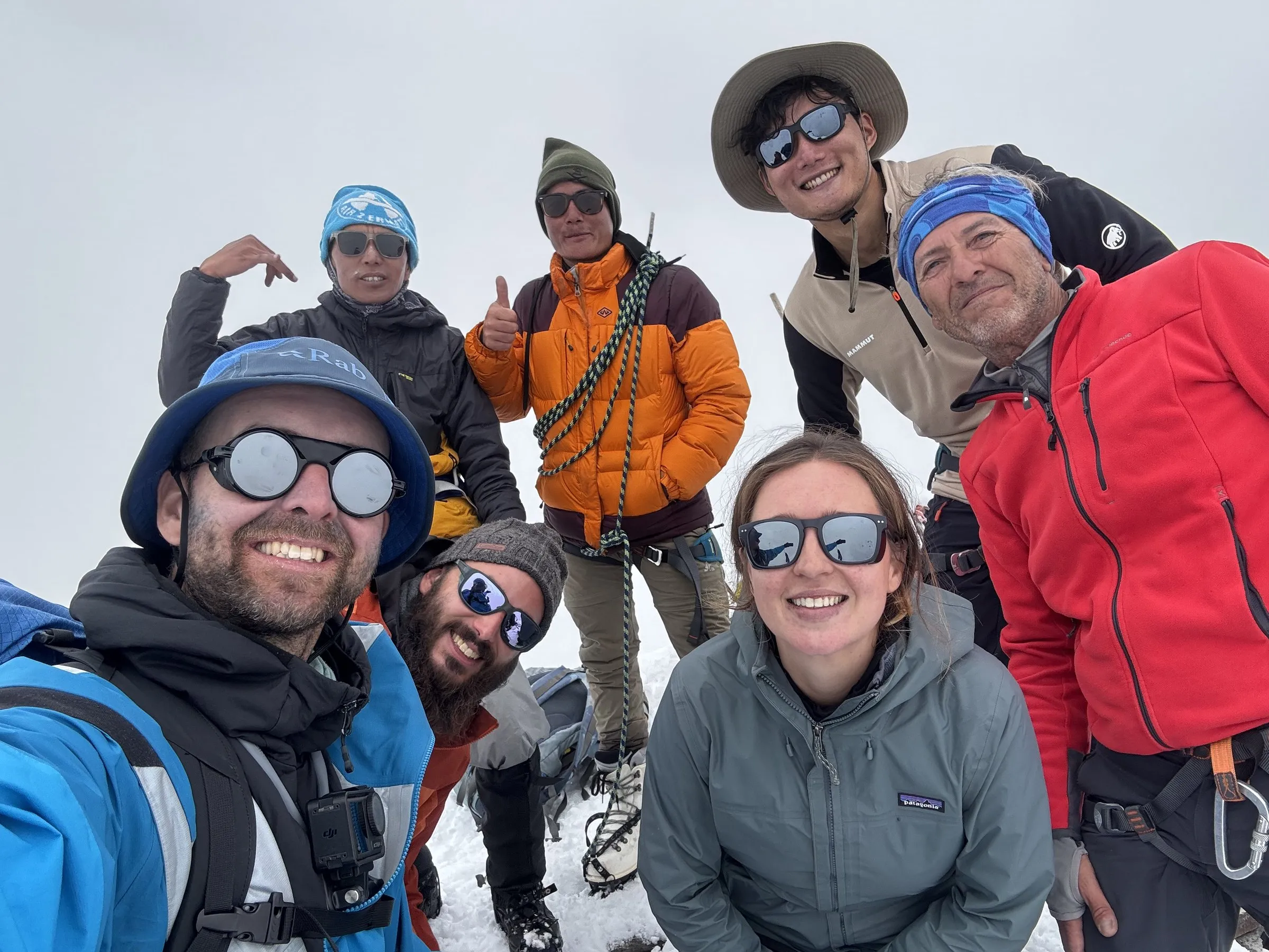
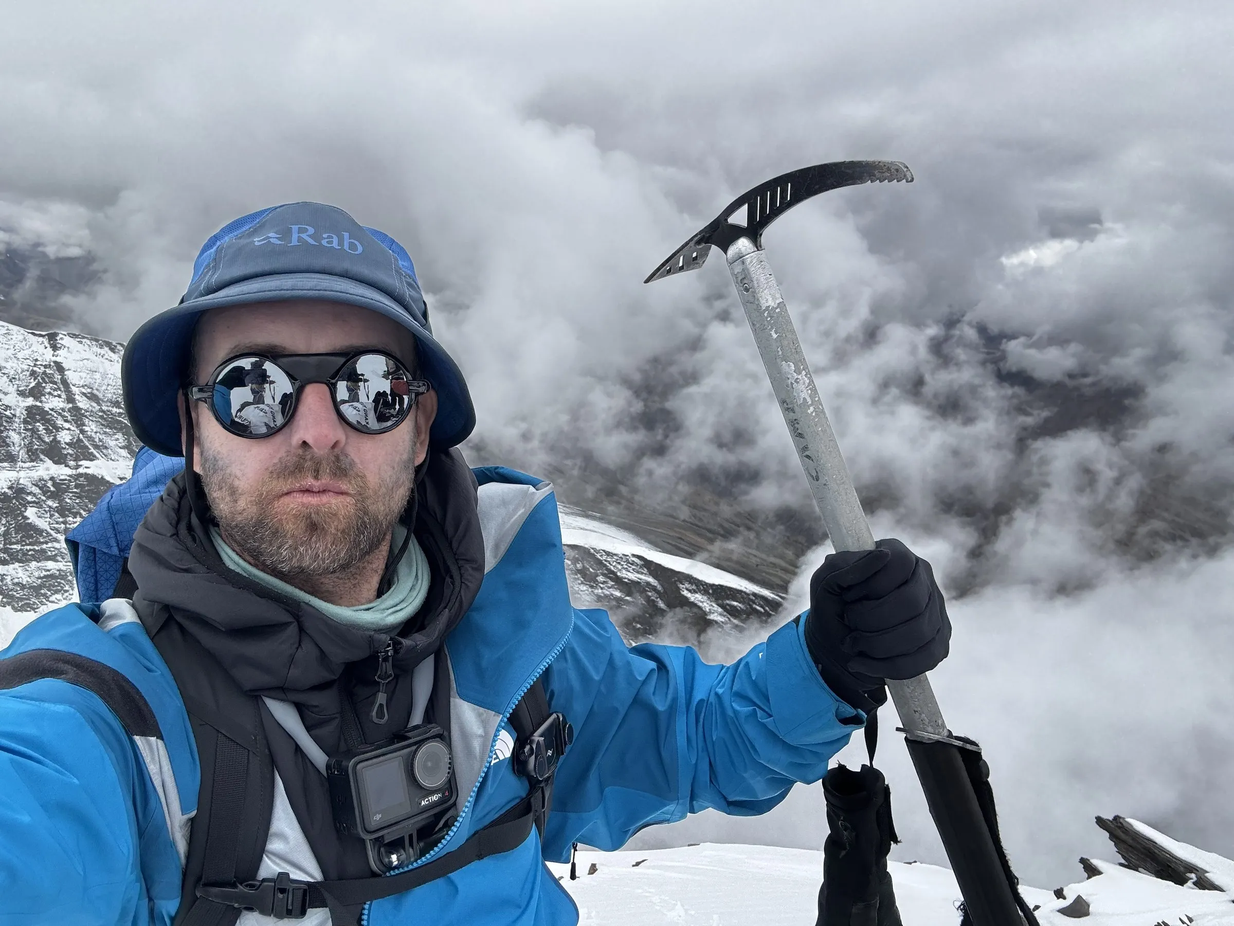
The only sadness was Philippe. He’d come down with an illness and didn’t have the energy to keep going, so he turned back. Everyone else stood on top of a 6,200m peak, proud and very happy, and I’m grateful I got to share it with them.
The descent took us back across the glacier and down to Base Camp in the middle of the afternoon. In all it was a 12.5-hour day: about 9 km with around 1,000m of climbing.
Kang Yatse II was my final training objective before Manaslu, and I’m glad it went so well. I felt strong, confident and capable on the glacier and the other technical sections. For me, that was the clearest sign so far that I’m ready.
Day 9: Over Kongmaru La to Chogdo
Saturday 15 August · 15.6 km · +425m / −1,650m · High point: Kongmaru La, 5,260m · Chogdo, 3,905m
The day after the summit was almost as adventurous, but for different reasons. From Base Camp we walked via Nimaling up and over Kongmaru La, the highest pass of the trek, and then down a stunning valley to Chogdo with a river running all the way through it.
The river made the day. In the first half we jumped from rock to rock across the raging water, knowing that a slip could carry you a long way downstream. Everyone made it across. Further down, the crossings were too wide to jump, so we took our boots off and waded through.
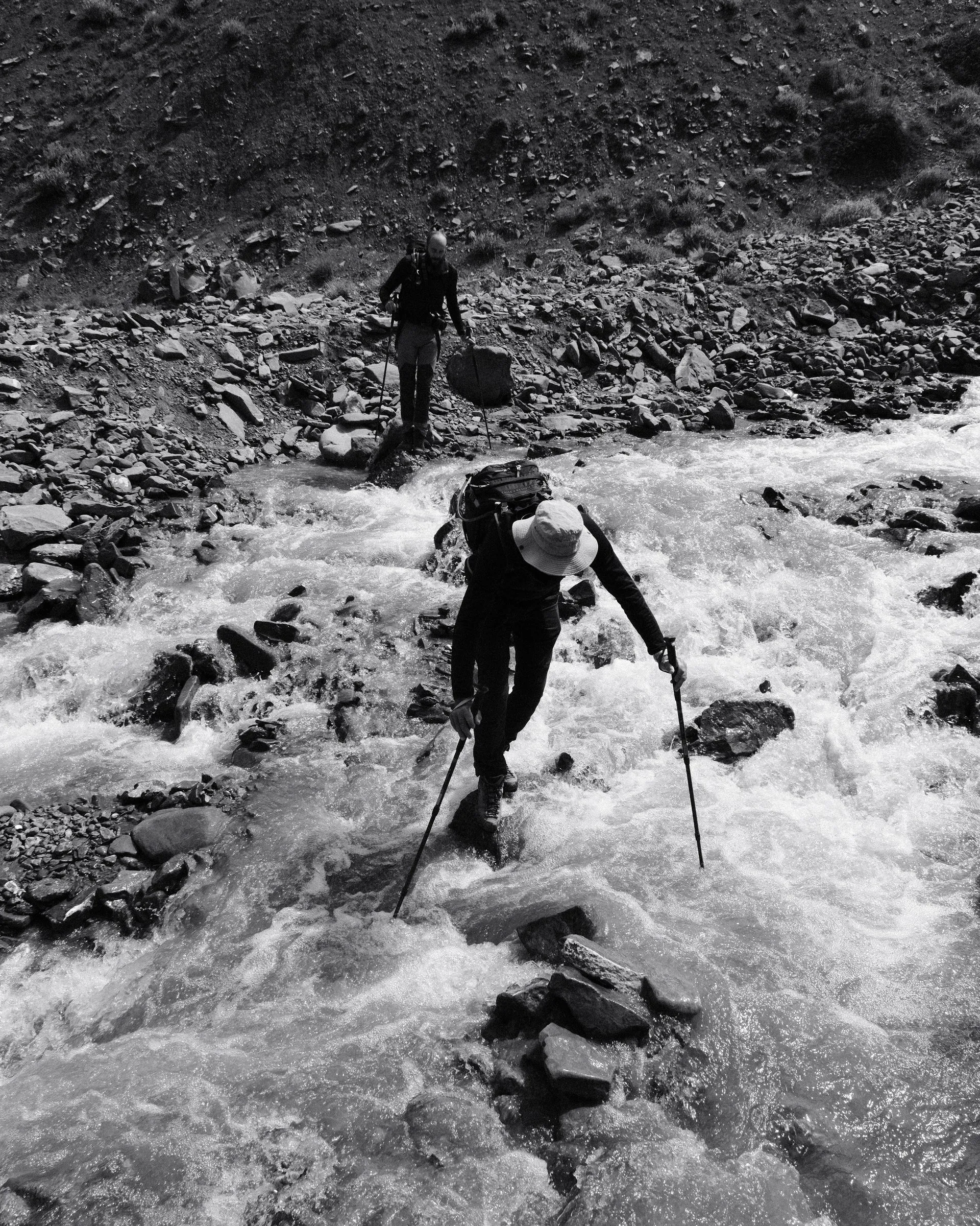
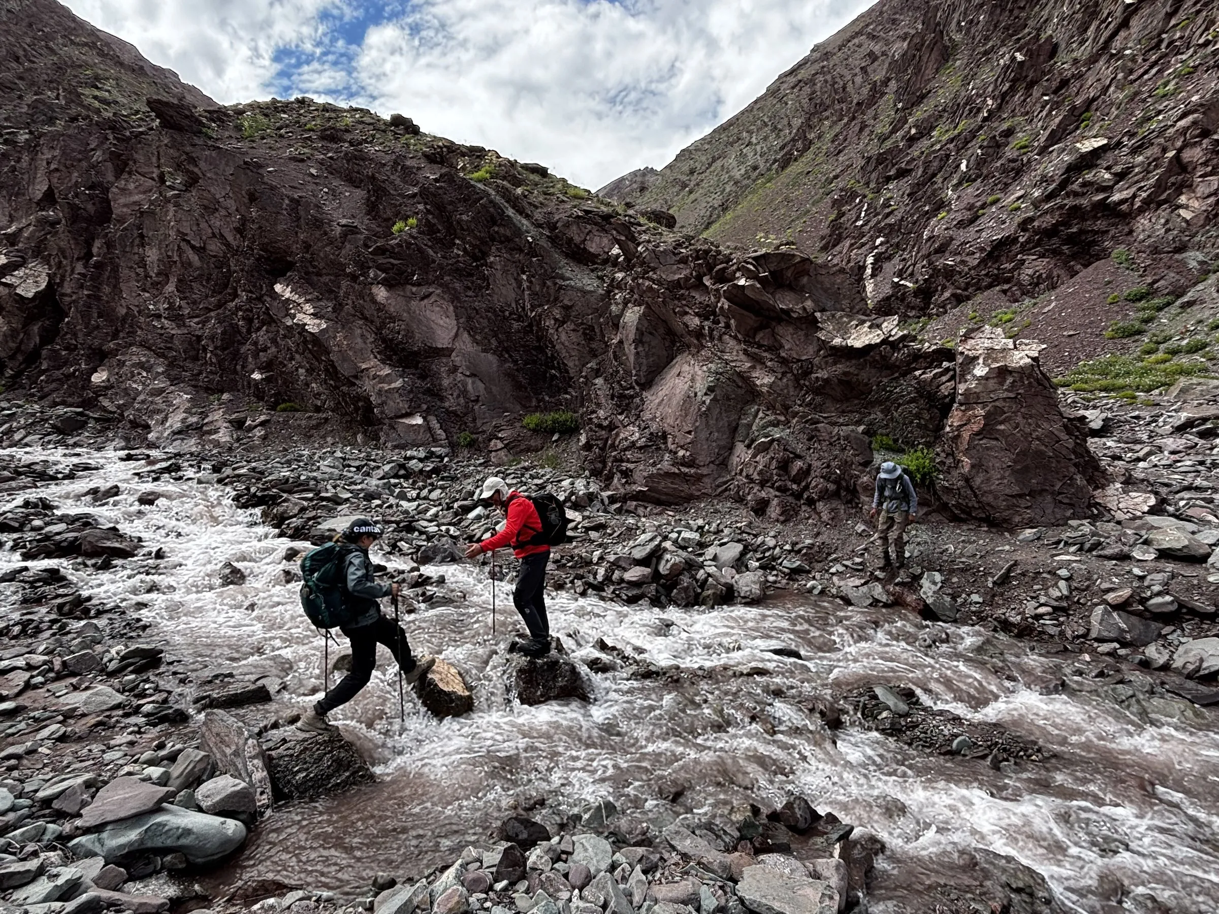
After lunch we climbed to a viewpoint high on a hilltop. Sun was pouring through the brown gorge, and far below we could watch our horse caravan winding through the valley. Mountain goats picked their way across the steep rock faces, and an eagle circled overhead.
As we walked the last stretch to the guesthouse at Chogdo, we played “Resham Firiri” one last time. It’s the Nepali folk song we’d been singing on the trail all week. Our chef and his helpers joined in, laughing, dancing and singing along with us. It was a great day, and we finished the trek in good spirits.
Day 10: Monasteries on the road back to Leh
Sunday 16 August · 4.9 km to Shang Sumdo, then by road · Hemis, Stakna, Thiksey and Shey
After nine days of walking, the last day was for monasteries and taking it easy. I suggested we leave early to catch a morning puja. We reached Hemis in time to catch part of the ceremony. It was a great experience, as always, and the others enjoyed it too.
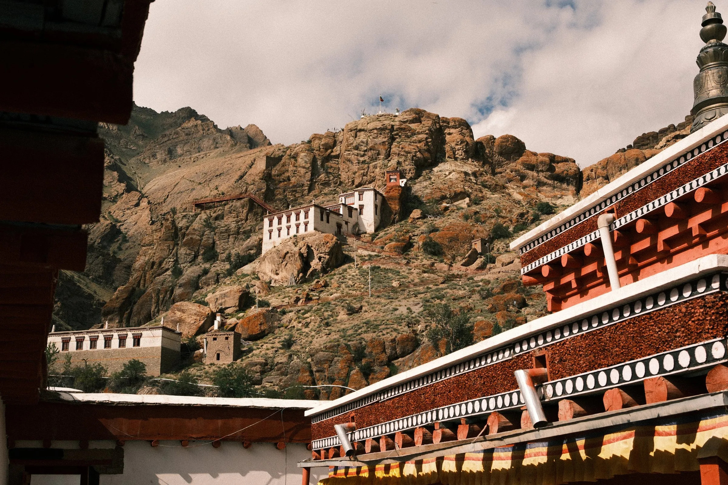
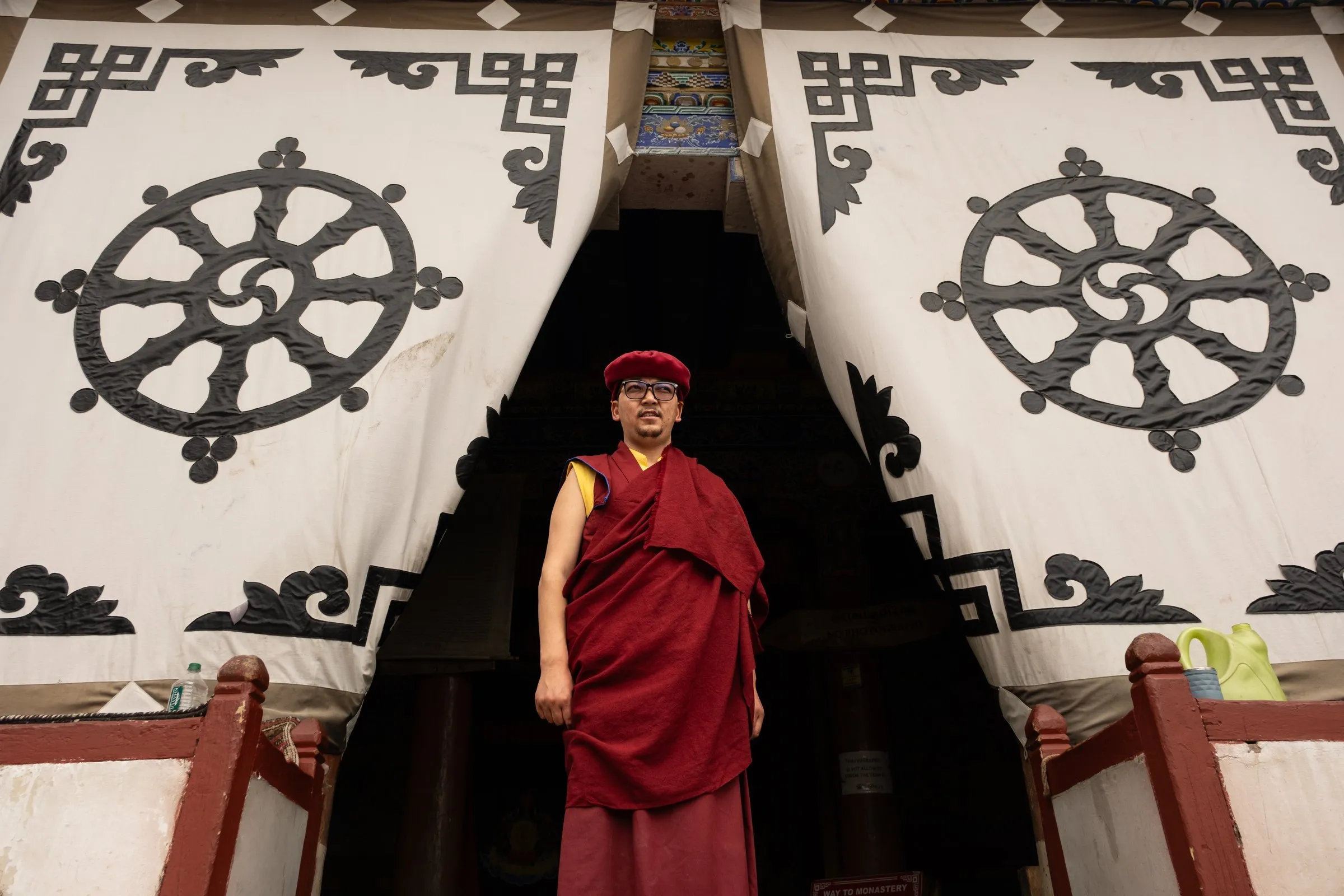
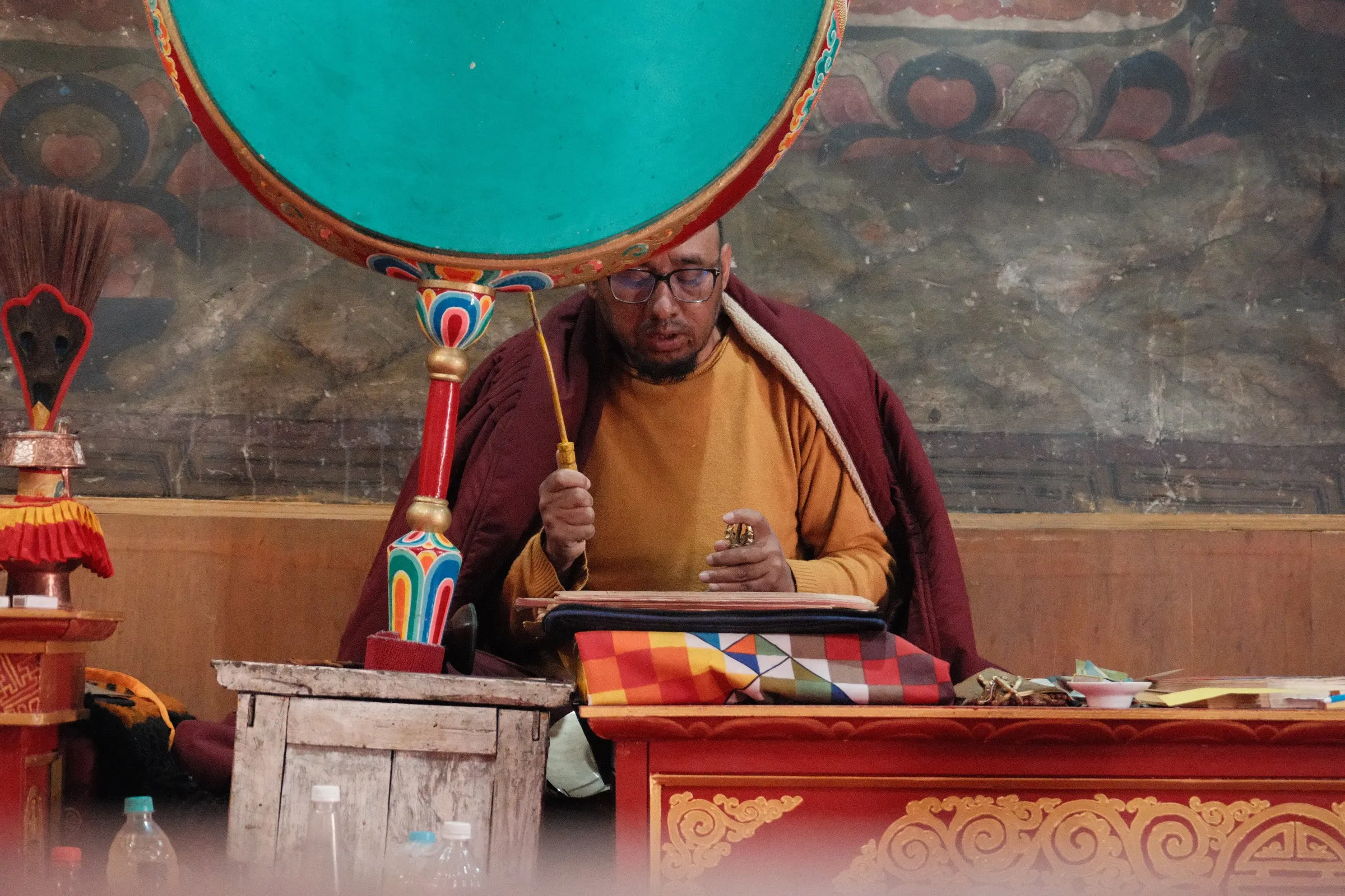
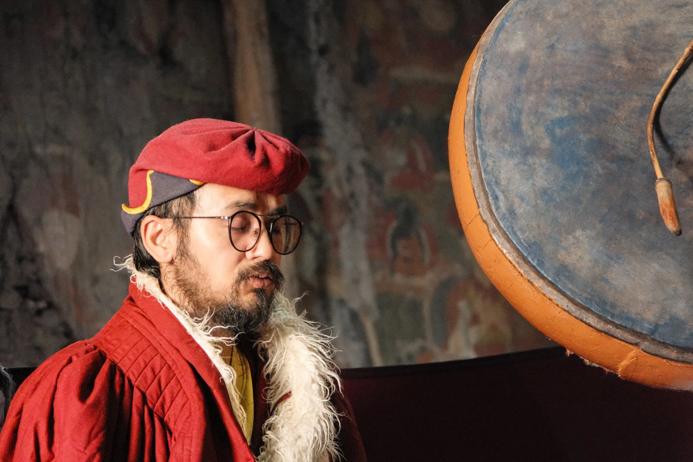
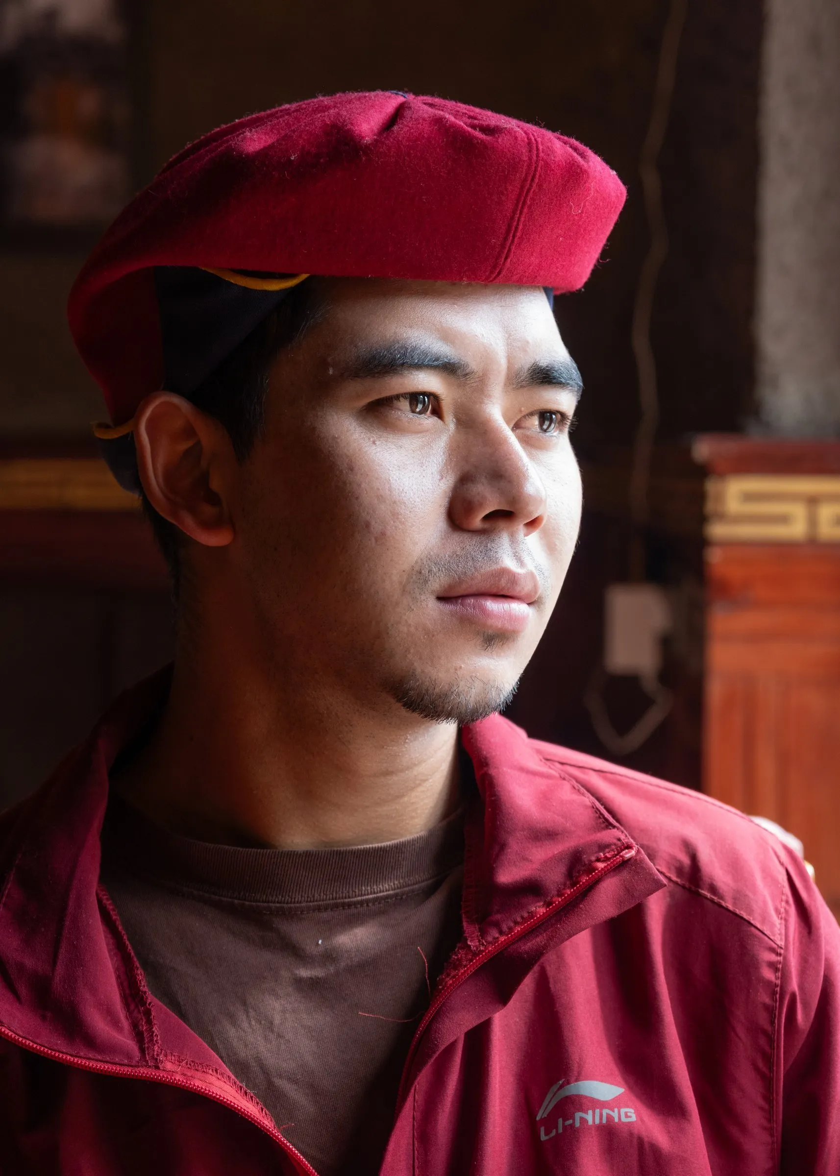
The rest of the day we went monastery hopping to Stakna, Thiksey and Shey, and I made some of my favourite portraits of the trip. At Hemis, a young monk called Jimmy Lotus sat by a window and turned towards the light. That became one of the best portraits of the whole trip.
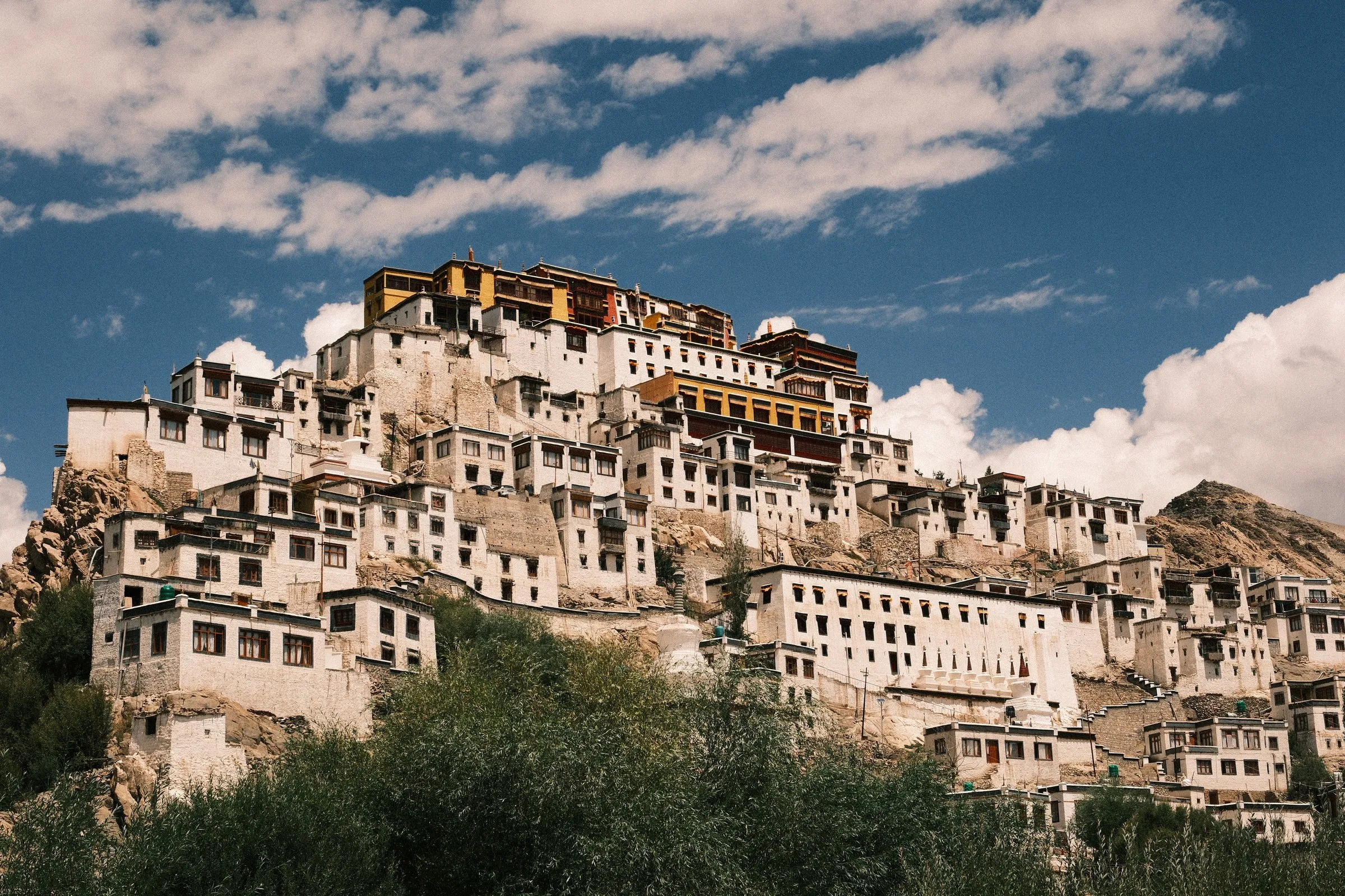
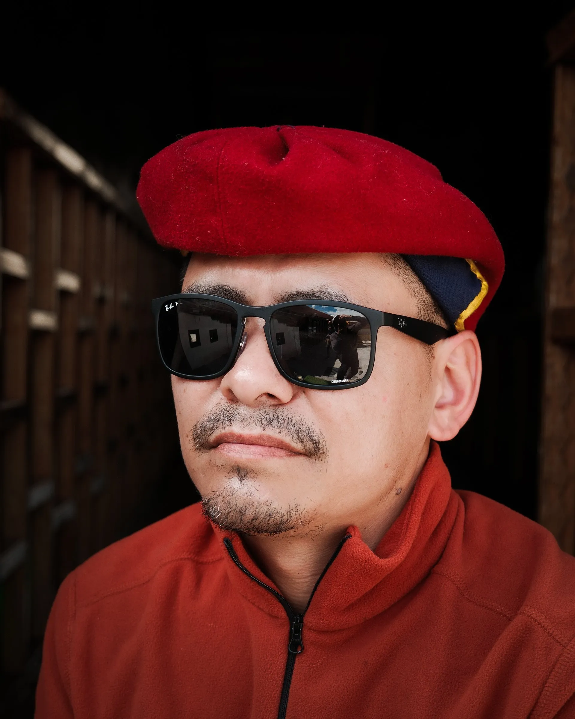
📸 Don’t miss: Ask your guide to time the drive so you reach Hemis for the morning puja, then let the day run slowly from monastery to monastery.
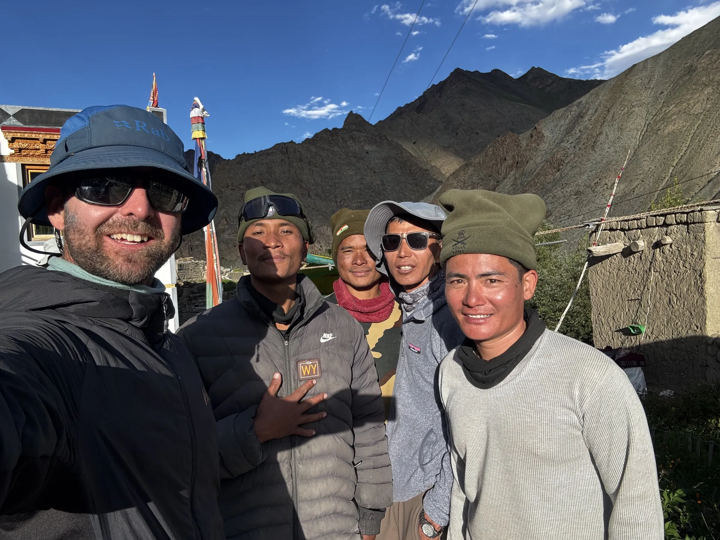
Philippe, Aurélien, Agathe, Ambrose, Antonio, Jit and I had spent ten days together, and it had been easy and fun from the first afternoon at Rumbak. I was lucky to have this group.
Back in Leh that evening, my old friend Phil was waiting. He’d travelled up to meet me after a work week in Bangalore, and we all went out for dinner together.
After the mountain: a few days in Leh
I spent the next five days exploring around Leh with Phil. He was on a business visa, which apparently meant no permits for the restricted areas. So instead of the high valleys, we drove out to Alchi and worked our way back through monastery after monastery. Seeing a familiar face at this stage of a long trip, before the next climb, meant more than I expected. I’ll share those days in a separate post about exploring the Indus Valley and Ladakh with Phil, along with the Nubra Valley road trip I took after he left.
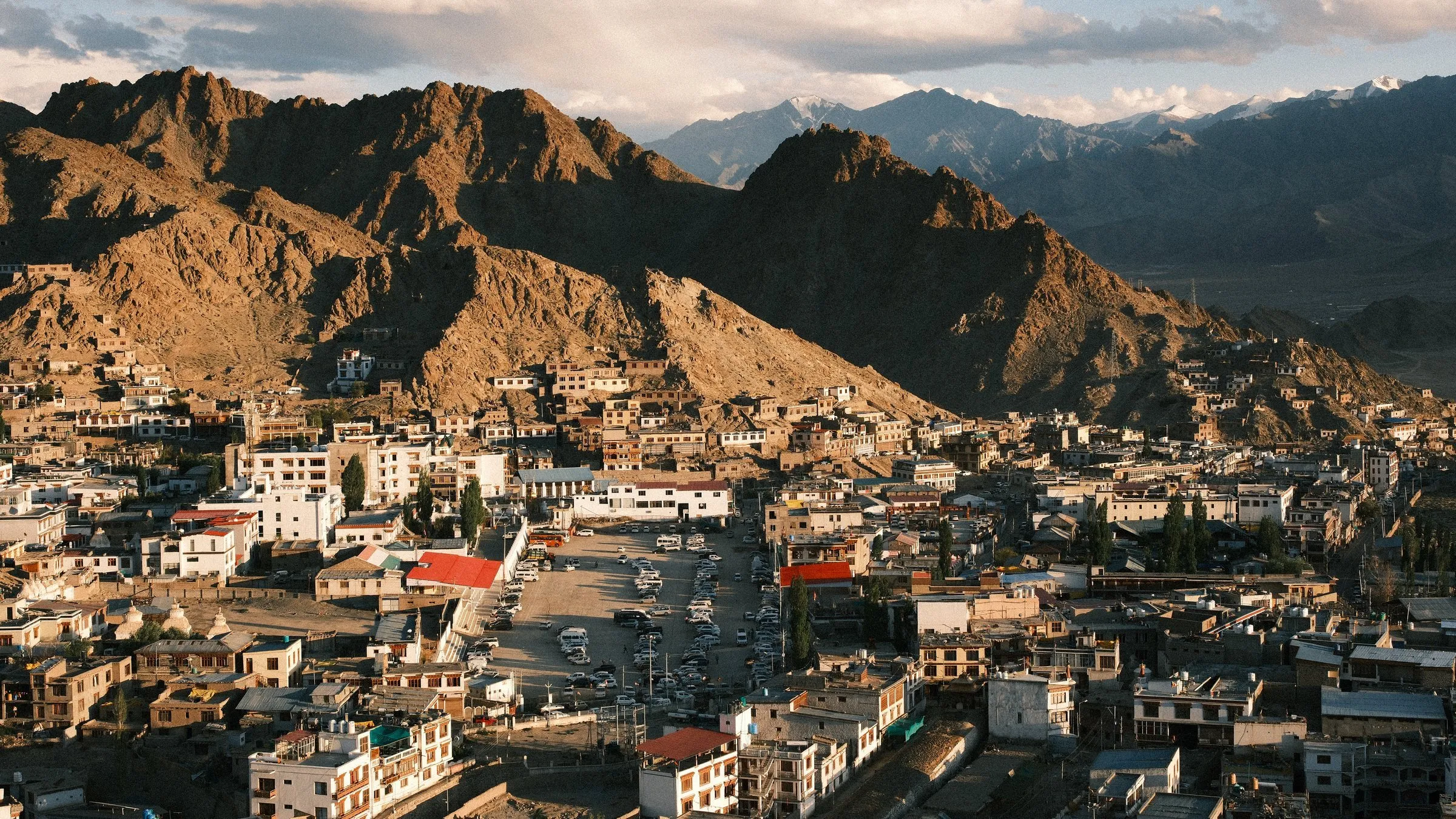
By Friday 21 August I was writing on a rooftop above a busy Leh street. Leh and Ladakh are beautiful and chaotic at once. It’s deeply spiritual, and many locals wear bright traditional Tibetan dress. But it’s also a bit dirty. Basic things like electricity and hygiene aren’t guaranteed. It’s like experiencing two extremes at once.
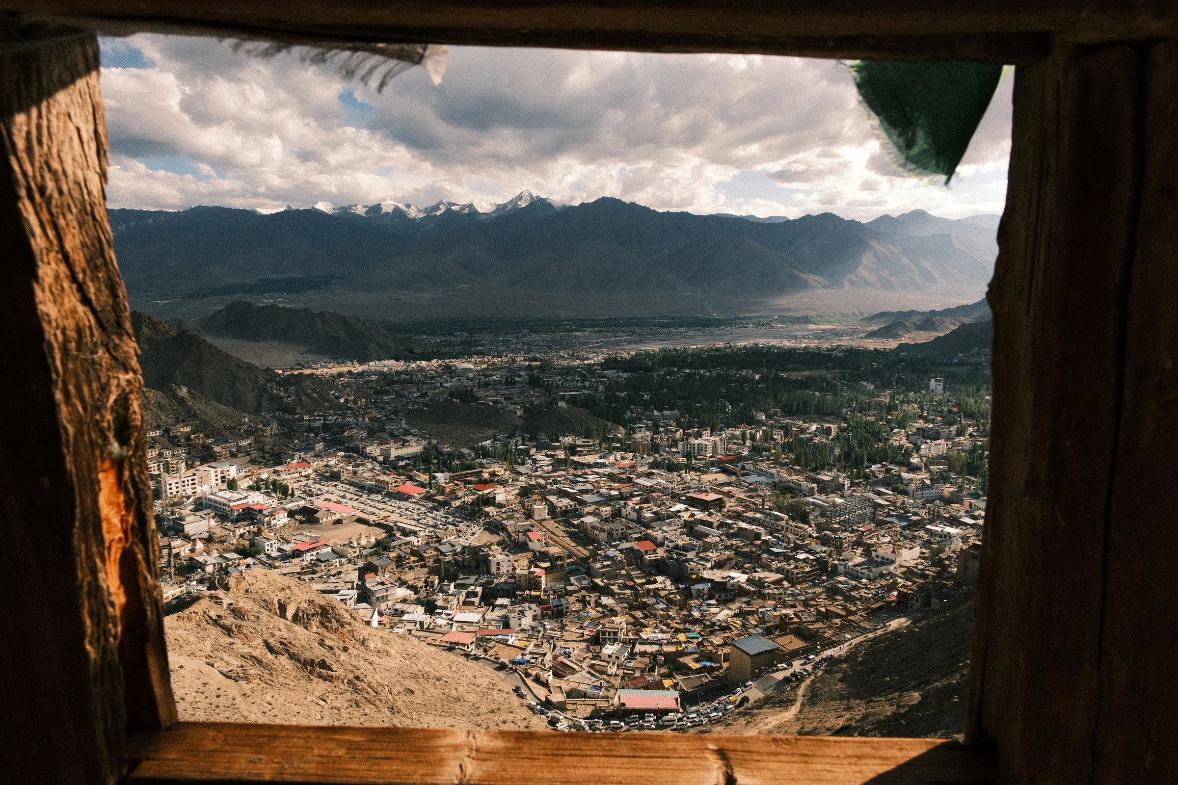
Looking back through my diary, a few lines I wrote in the tent sum the trip up better than anything I could add now:
To be surrounded by the sounds and sights of nature all around you, 24/7: paradise.
Disconnected from the internet for ten days. What a luxury.
The feeling of being self-sufficient deep in the remote Himalaya: character-building.
The mountains and high-altitude camps are excellent filters of people. You find the kind, adventurous and fun types up here.
Photography notes
- Portraits came from the quiet moments. The herder resting in the valley, the woman making wool snow leopards and Jimmy Lotus at Hemis all happened when we stopped, not while we were walking.
- The Markha Valley can look like Upper Mustang. If you’ve shot Mustang, look for people, wildlife and weather instead of more red-rock panoramas.
- Keep shooting when the weather turns. The storm day still gave me some good photographs.
- Golden hour at camp is free. After long days, the best group shots came from simply stepping out of the tent at sunset.
- Look for scale at Base Camp. Climbers on the glacier above give a sense of size that an empty mountain can’t.
Practical information
Operator: Ju-Leh Adventure, with Jit as lead guide plus assistant guides and a Nepali camp crew.
Included: 9 nights camping (tent, mattress, kitchen tent), all breakfasts, packed lunches and dinners, an English-speaking mountaineering guide, assistant guides depending on group size, a horse to carry one bag (max 13 kg), transfers Leh–Zingchen and Shang Sumdo–Leh, entry to Spituk, Hemis, Stakna, Thiksey and Shey monasteries, and climbing equipment (crampons, ice axe and so on).
Not included: flights, travel insurance, hotel and meals in Leh, sleeping bag, trekking poles, and any changes to the itinerary.
Cost: €1,460 for the 10-day fixed-departure trip, booked as a solo traveller, so this includes a single supplement. It covered everything in the Included list above. Ju-Leh lets you pay in full when booking, or pay a 25% deposit and the remaining 75% fifty days before the trek. Flights, insurance, and hotels and meals in Leh were extra.
Weather: mid-August brought hot, dry days in the lower valleys and heavy rain and thunderstorms on Days 2, 5 and 6.
Camera gear
I shot this trip on the Fujifilm X-T5 with two lenses: the XF 16-80mm f/4 and the XF 33mm f/1.4.
- Keep one versatile zoom on the camera. Over all my travels I’ve found that a zoom I never need to take off is the safest option. Every lens change is a chance for dust and rain to get in, and the 16-80mm is weather-resistant. I switched lenses more often than I should have on this trip. When I later had my lens cleaned at the Fujifilm Connect event in Malaysia, it was filthy.
- Pack light, especially for the climb.
- Carry a waterproof camera cover. On this trek the rain could start again quickly, even after it had stopped.
Trek gear lessons
- Put your waterproof shell on early, and keep it on after the rain stops
- Bring a poncho and more dry bags than you think you need, and a length of paracord for a washing line
- Pack a blister kit and antiseptic, even if you never get blisters
- A second pair of boots saved me when my main pair didn’t dry
More from the Himalaya
- The Photographer’s Guide to Upper Mustang
- Langtang Trek with Tserko Ri: A Practical Guide with Photography Tips
- Manaslu Circuit Trek Photography
- Kopan Monastery Kathmandu Photography Guide
Let me know what you think of the photos, or get in touch if you’re planning the trek and have questions. You can also follow my travels on Instagram.